Kosciuszko to Kiandra Hiking
I acknowledge the Traditional Custodians of the lands through which this journey travels—from the alpine country around Kiandra and Kosciuszko National Park to the rivers, valleys, and high plains beyond. I pay our respects to Elders past and present of the Ngarigo people, whose deep connection to this Country continues today.
These mountains and waterways hold stories, pathways, and gathering places that long predate our journey here. As I travel through this landscape, we do so with gratitude, humility, and respect for the people who have cared for and moved through this Country for countless generations.
Dates: 1-8 August 2021
Length: 8 Days
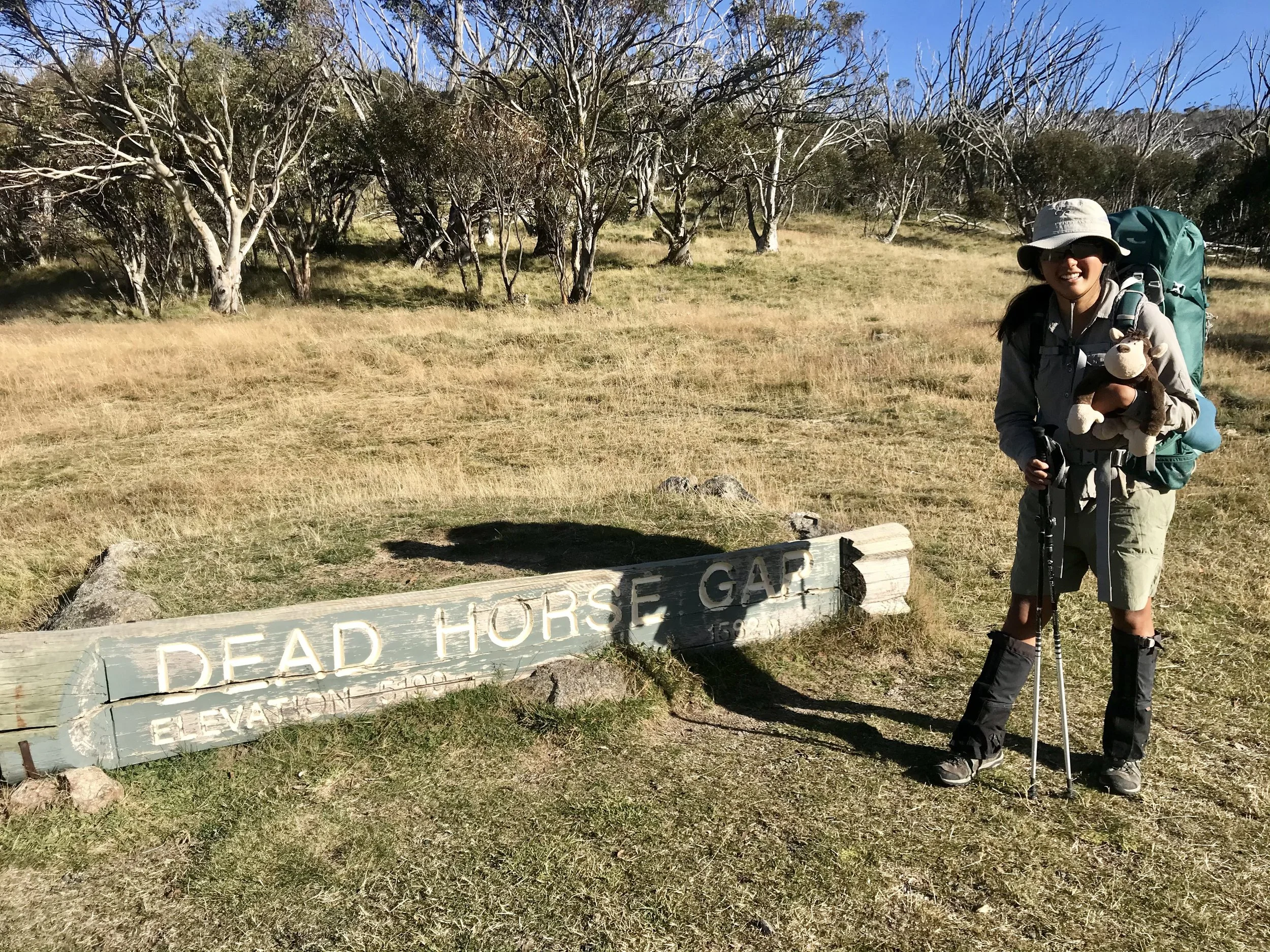
Start: Dead Horse Gap
Finish: Kiandra
Total Distance: 111km
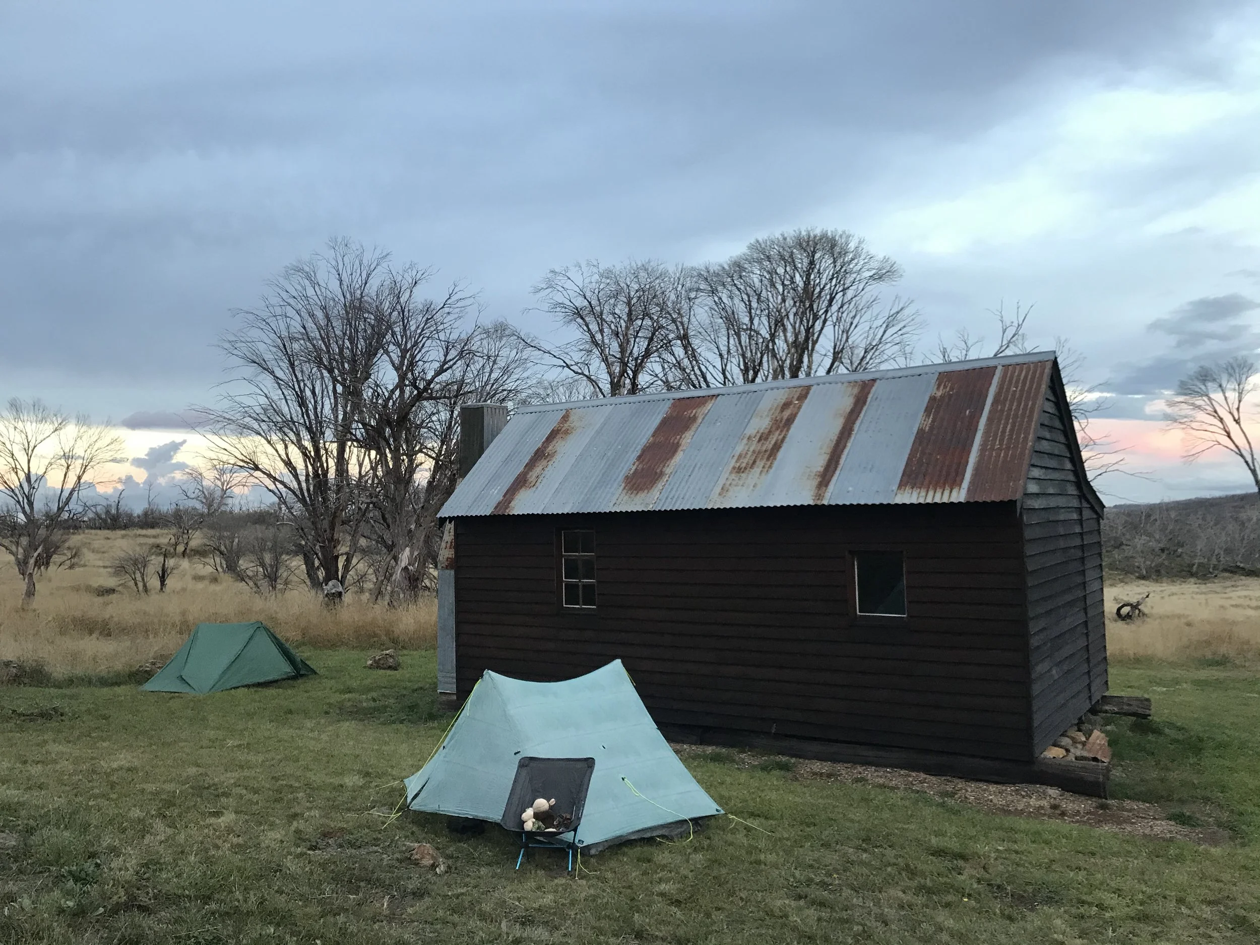
Type: Solo, camping (wild camping + next to a hut)
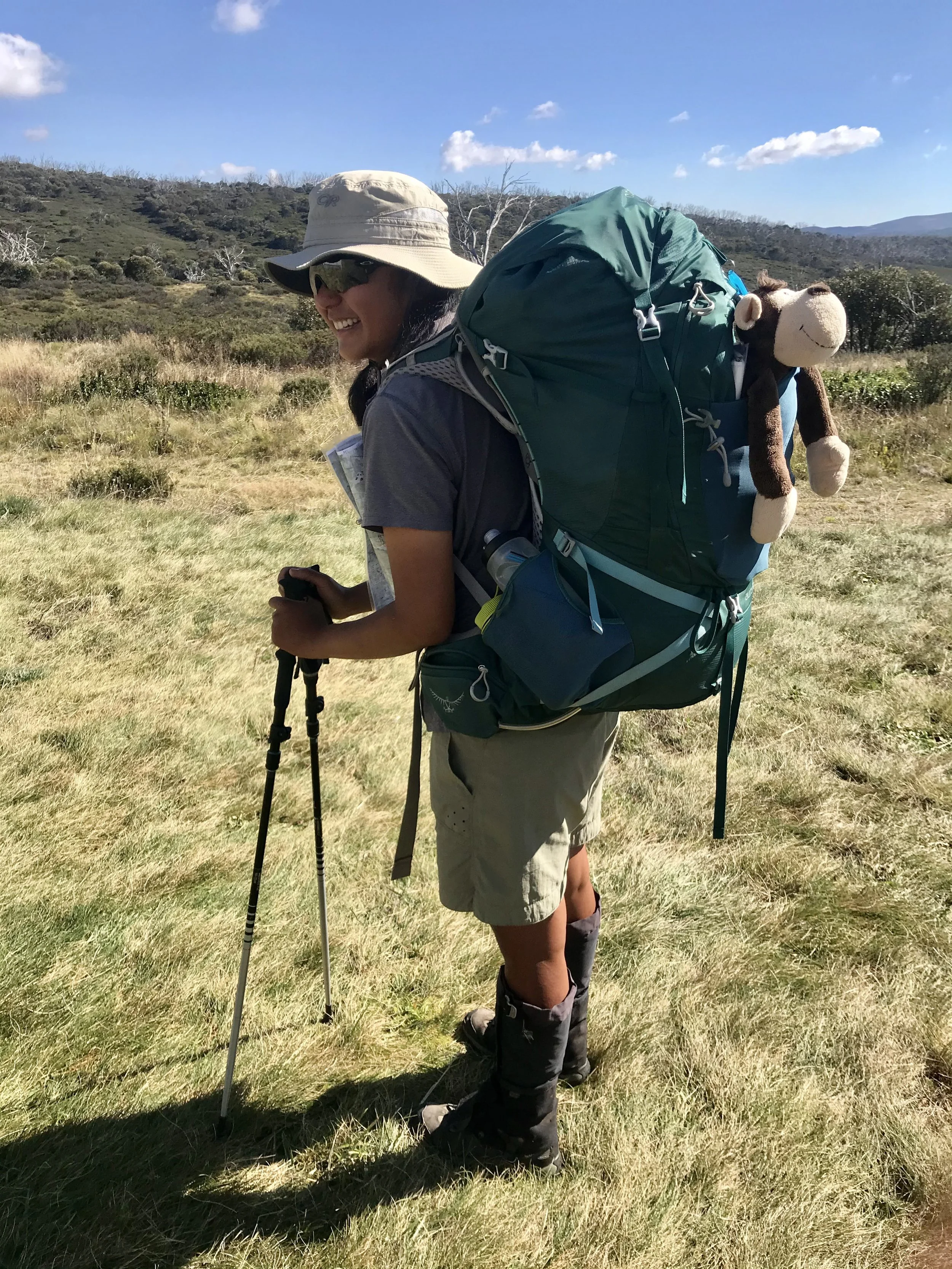
An eight-day traverse from Dead Horse Gap to Kiandra via the Main Range, the Kerries, and the Jagungal Wilderness, following a section of the Australian Alps Walking Track. Carrying nine days of food and everything I needed on my back, the trip was a return to a simple and intentional way of moving through the landscape—walking at my own pace, navigating off-track with map and compass, and camping in remote alpine locations. Each day was shaped by the rhythm of the trail: steady progress, changing terrain, and time spent immersed in the environment.
There were moments of solitude, as well as chance encounters with others along the way. Clear weather brought expansive views, along with memorable sunrises and sunsets across the high country. It was a deeply rewarding experience, and one that has left me looking forward to returning—on foot again, or perhaps by bike or skis—to explore more of this landscape.
Itinerary
Times include all breaks and 45m-1h45m lunch stops.
Day 1: Dead Horse Gap → South Rams Head
3km · 1h30m
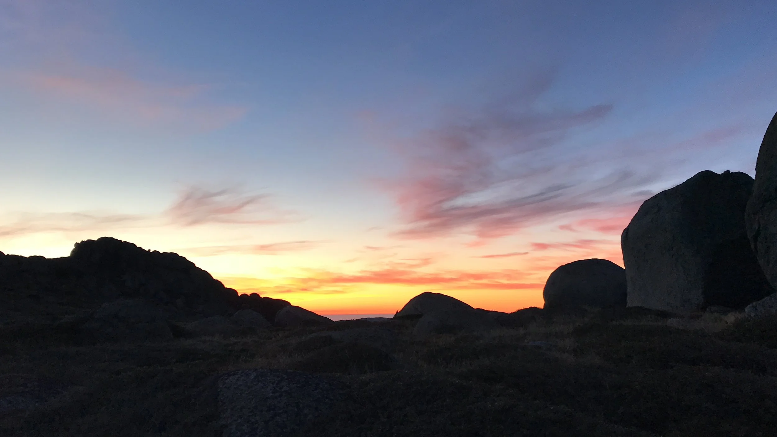
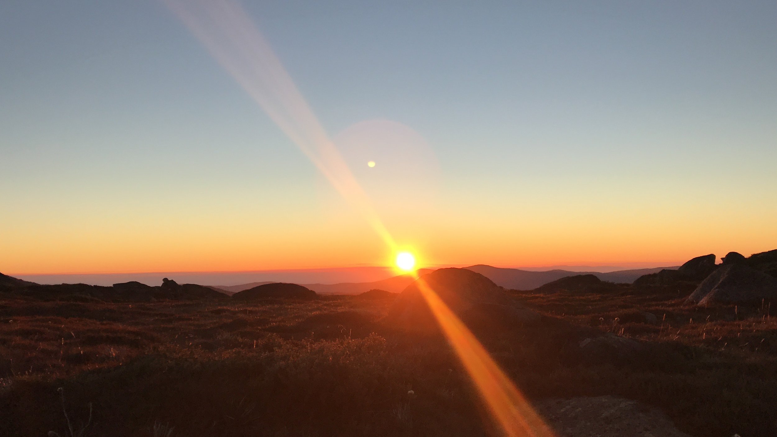
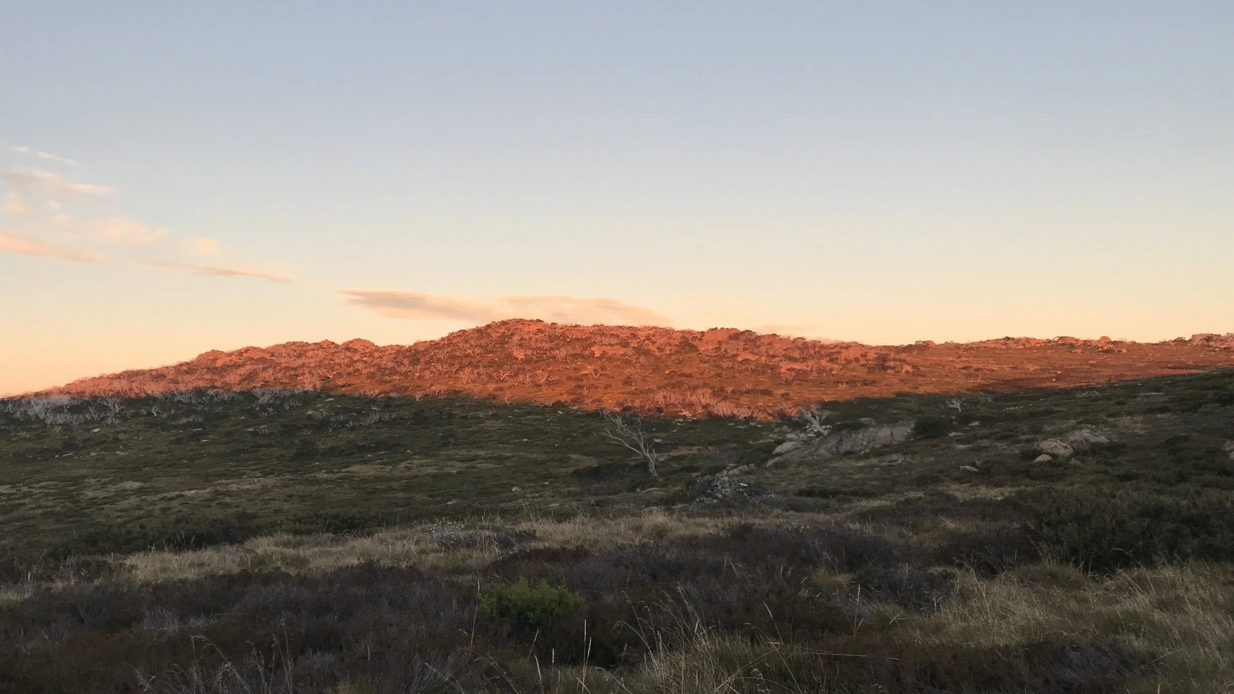
It was a late start at 5pm. I walked up from Dead Horse Gap towards South Rams Head. I found a flat spot with water nearby. The sunset colours were beautiful against the granite rocks.
Day 2: South Rams Head → Anton Anderson Saddle
17km · 7h30m
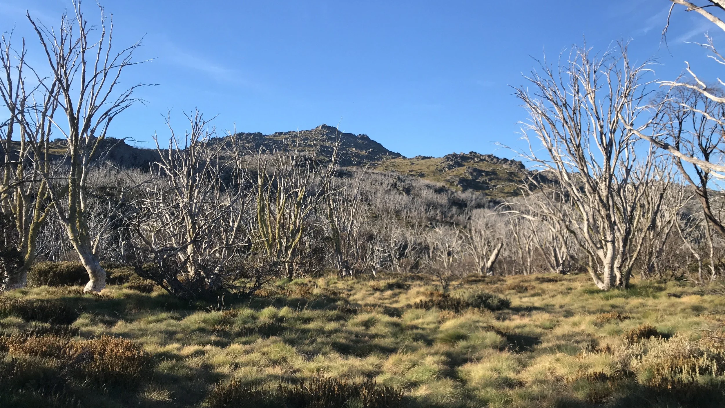
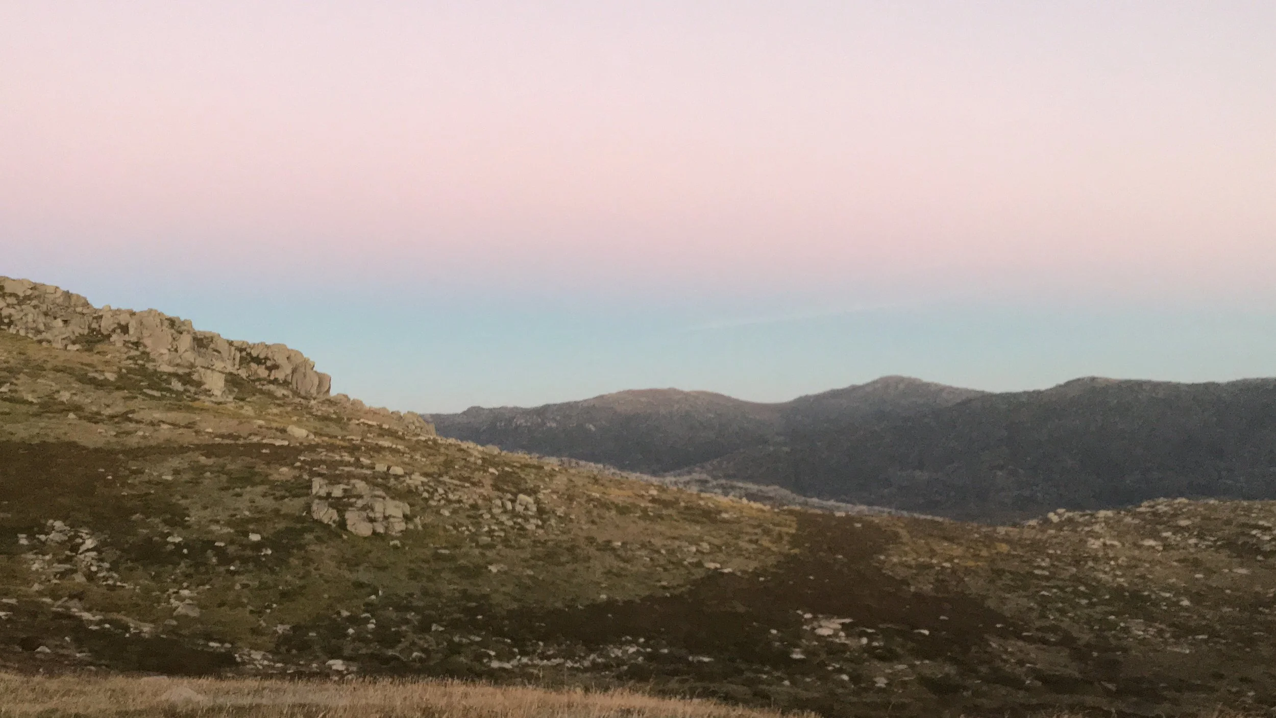
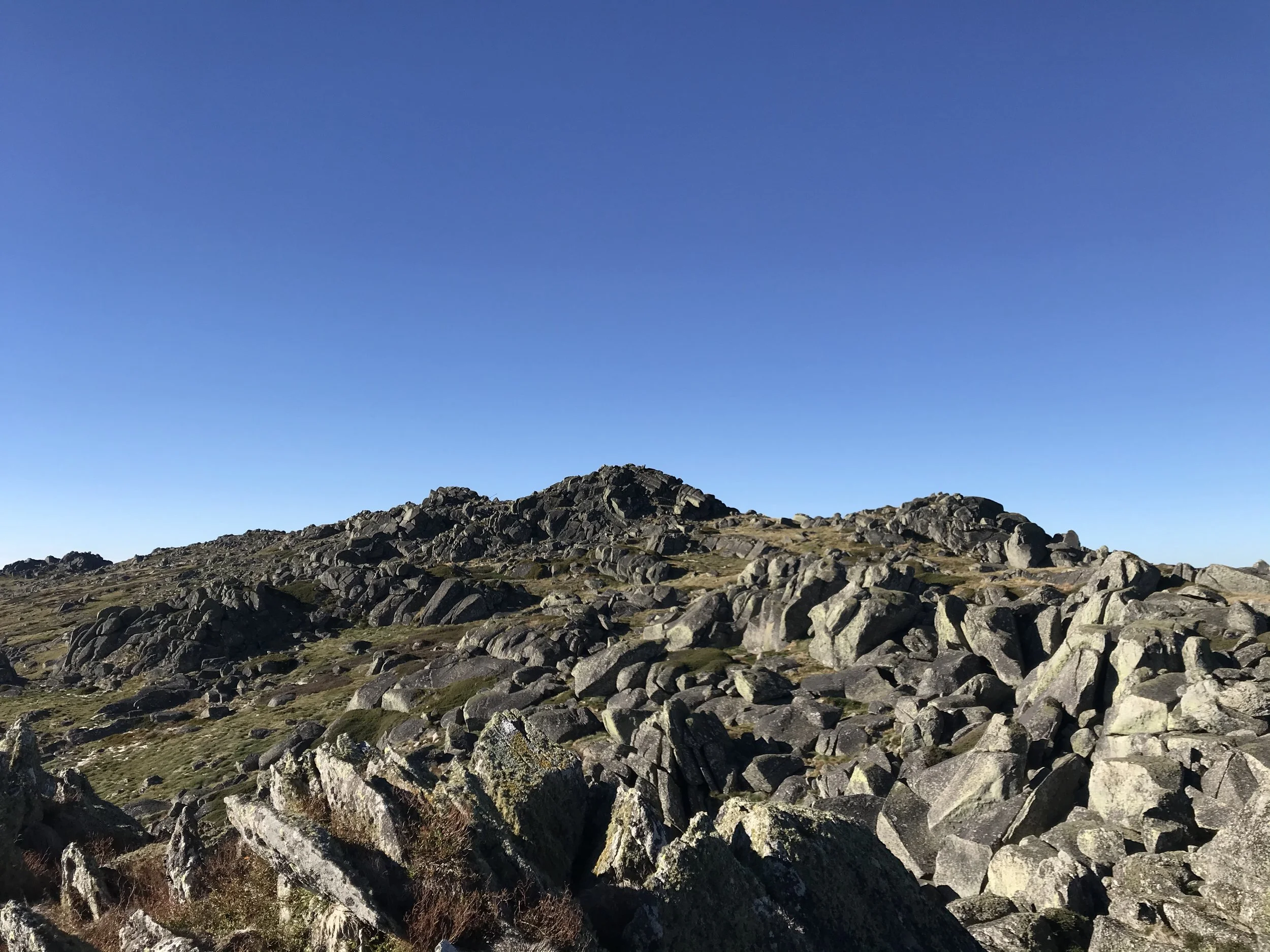
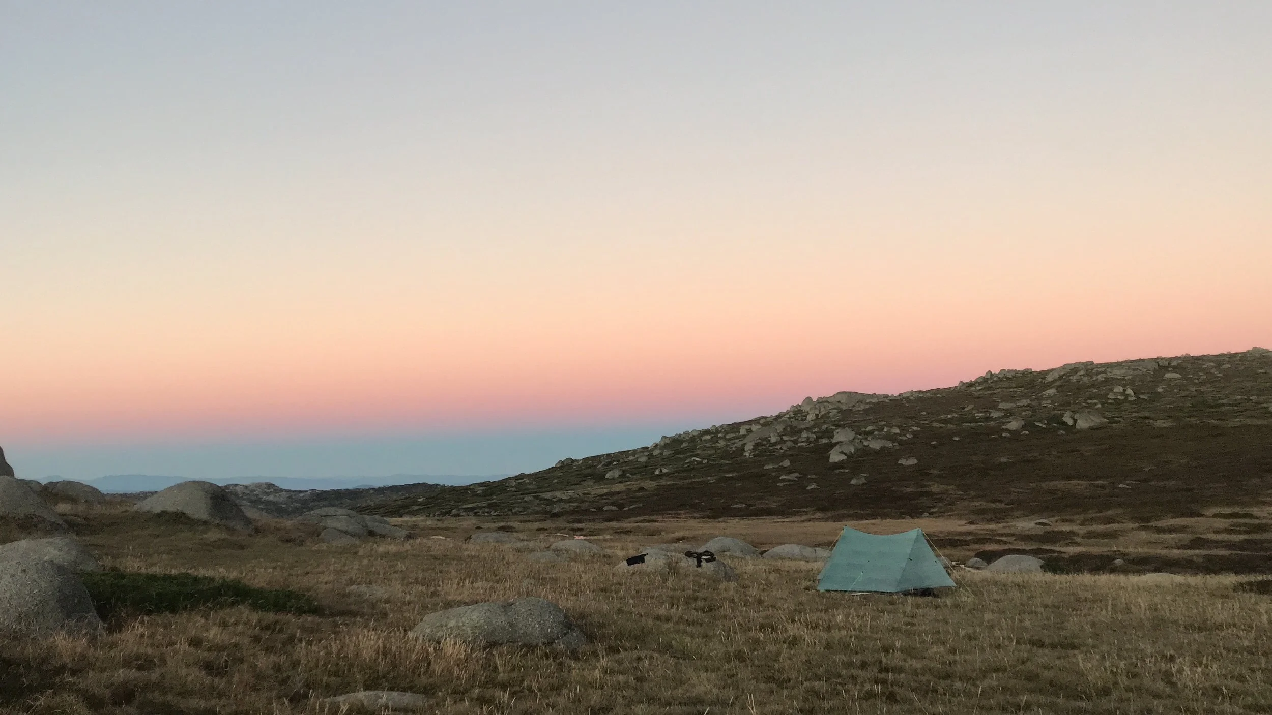
It was a beautiful sunrise and I had the whole place to myself. I saw brumbies in the distance. I joined the crowd on the boardwalk towards Rawson Pass. It was Easter Sunday and there were hundreds of people. I had previously been to Mt Kosciuoszko 3 times before and I didn’t want to join the queue for a photo at the summit. I continued on the Main Range walk over Mt Northcote (2131m) and Carruthers peak (2145m). The trail became unoffical and not obvious in places after Mt Twynam (2196). I camped at Anton Anderson Saddle. It was another stunning place to pitch my tent.
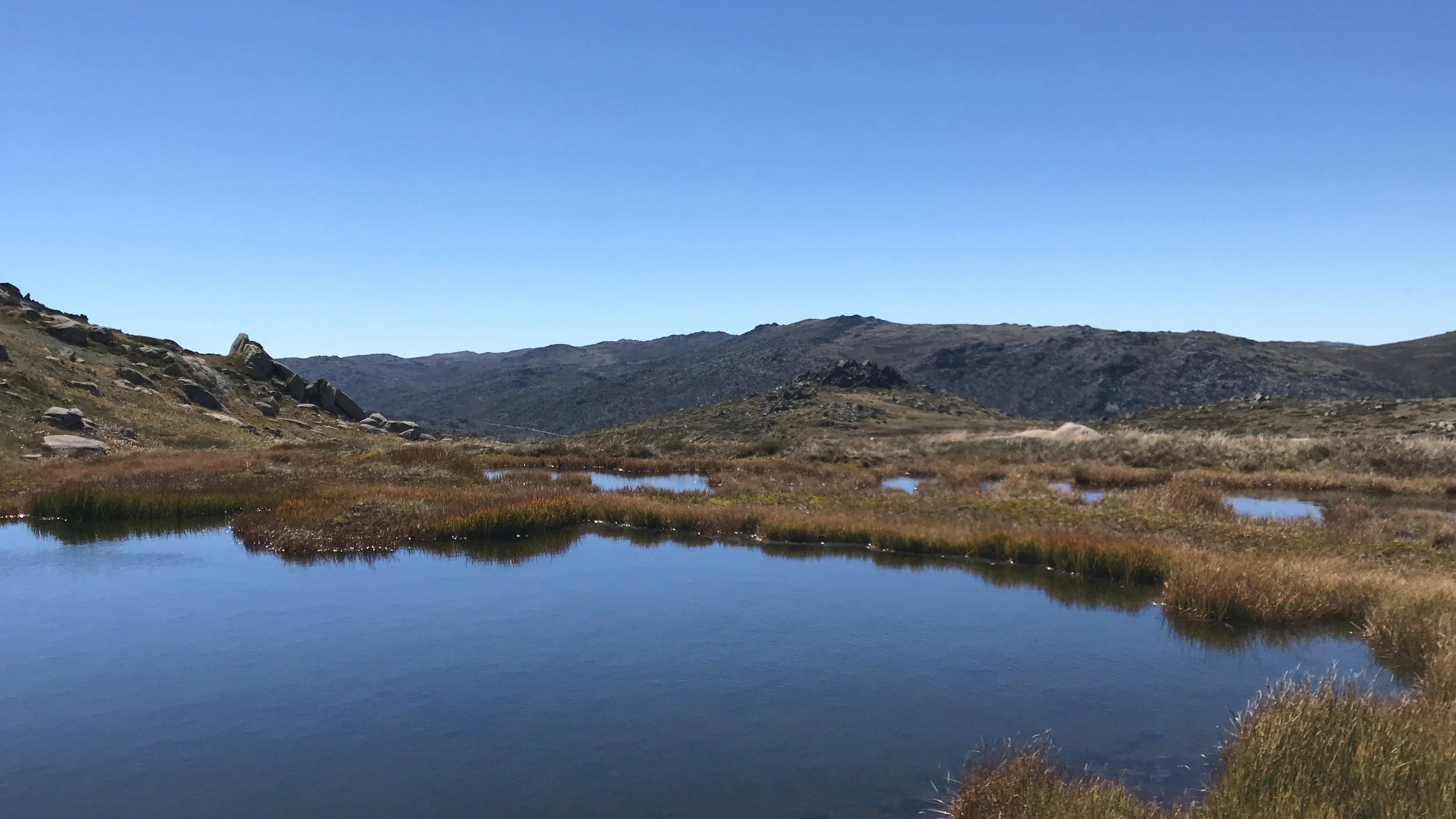
Day 3: Anton Anderson Saddle → Gungartan Pass (via Whites River Hut)
15.5km · 8h
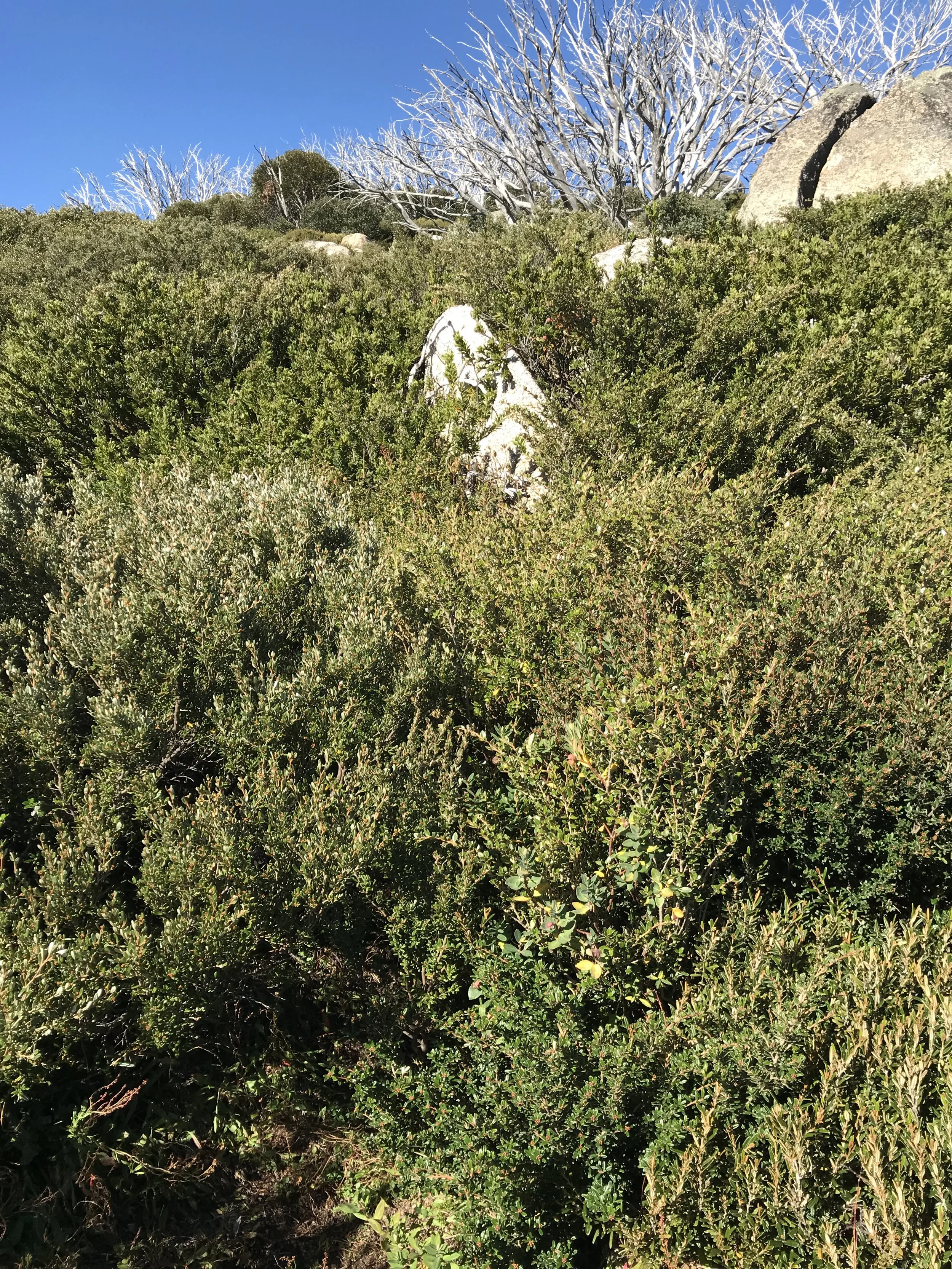
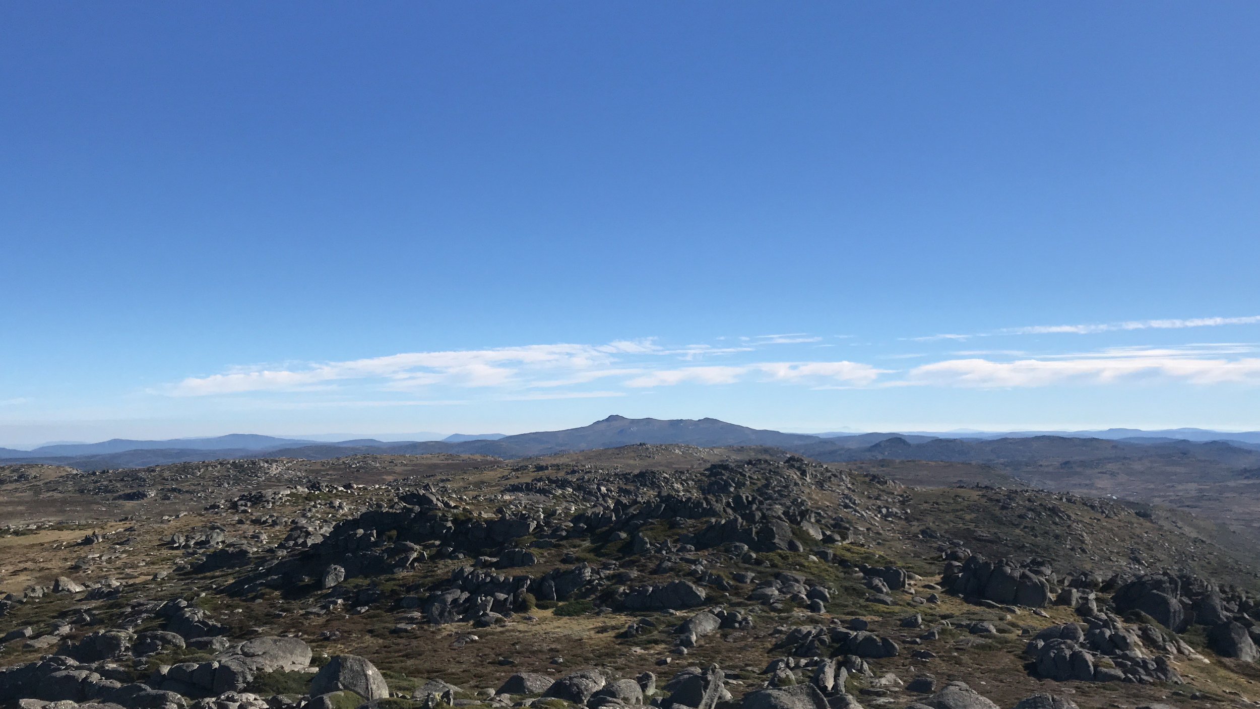
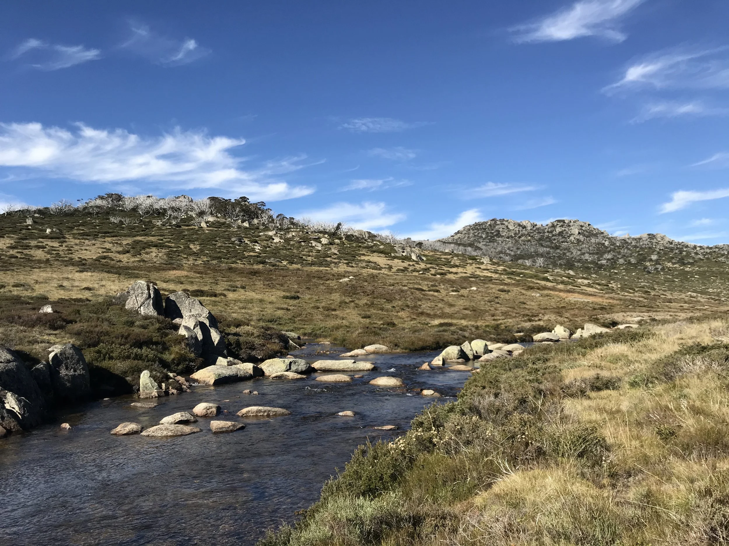
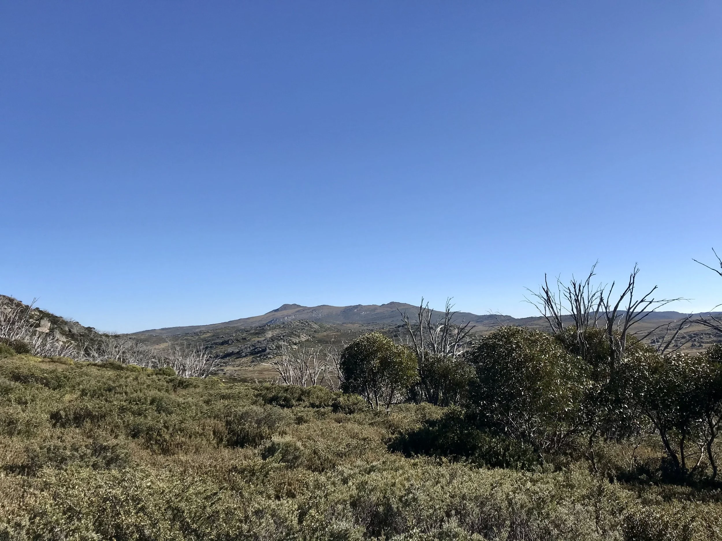
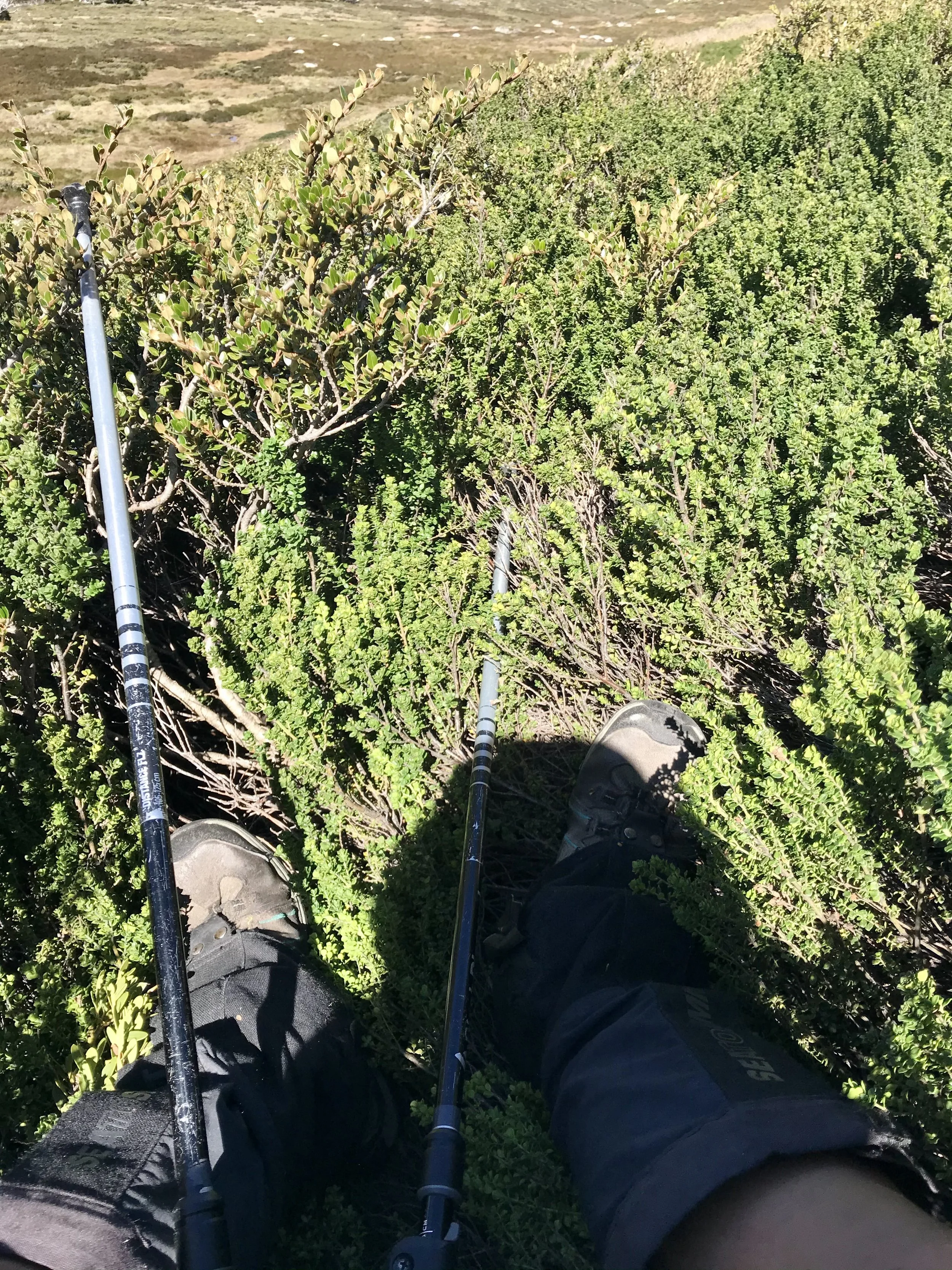
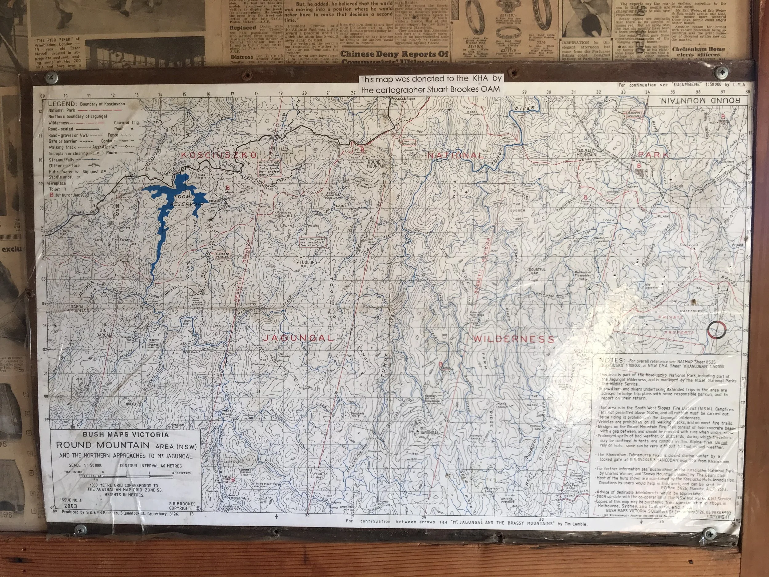
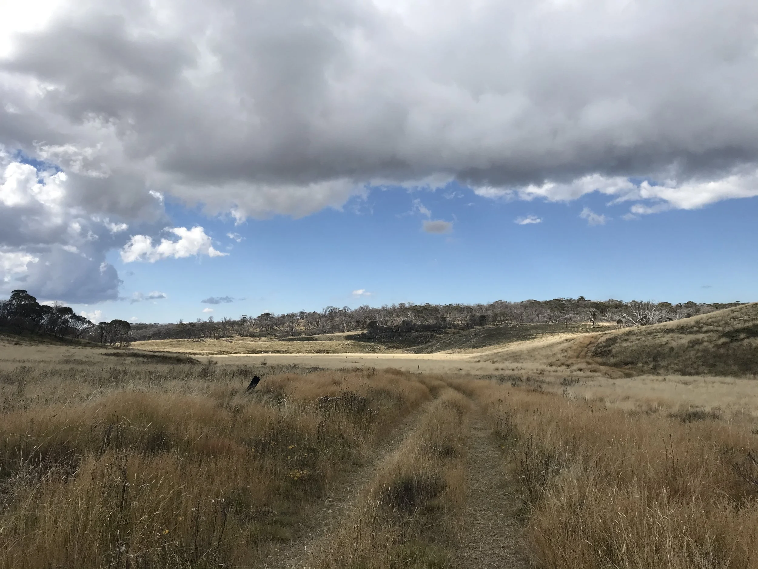
I continued on northeast over Mt Anton, Mt Anderson, Mt Tate and Consett Stephen Pass. I decided to give myself a challenge - only use map and compass to navigate through the Rolling Ground. It was tricky at times but fun. I had lunch next to a tarn before descending down to White River Hut. I walked on the road towards Schlink Pass and quickly realised that it was going to walking on an obvious track for the rest of the trip all the way to Kiandra. I missed the off-track adventure and decided to turn east at Schlink Pass upwards Gungartan. The bush was thick in places. I summited Gungartan and made camp near Gungartan Pass. I planned to stay off track until O’Keefes Hut. For the next couple of days, I didn’t see another person.
Day 4: Gungartan Pass → Bluff Tarn (via Mawsons Hut)
10km · 7h
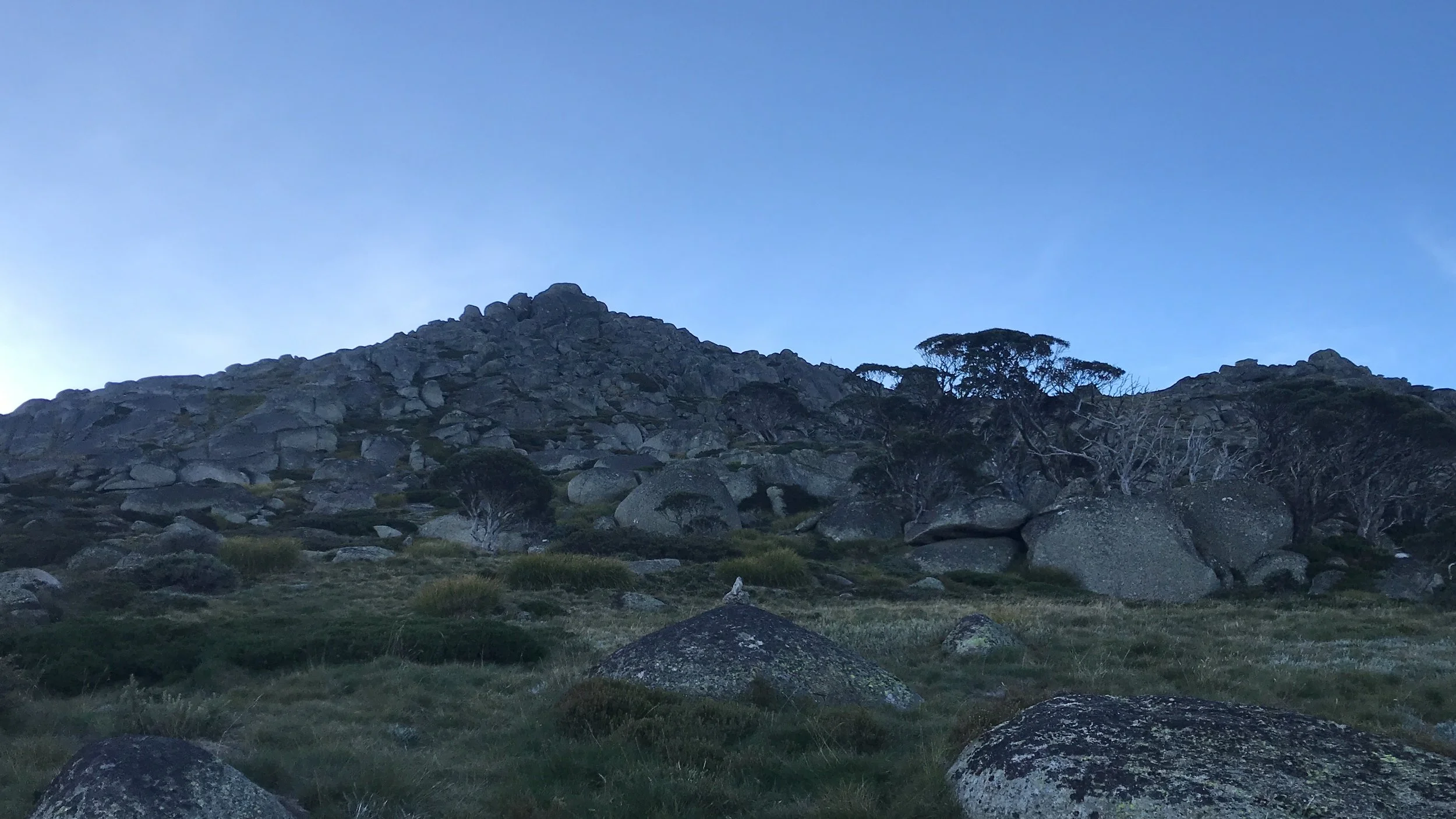
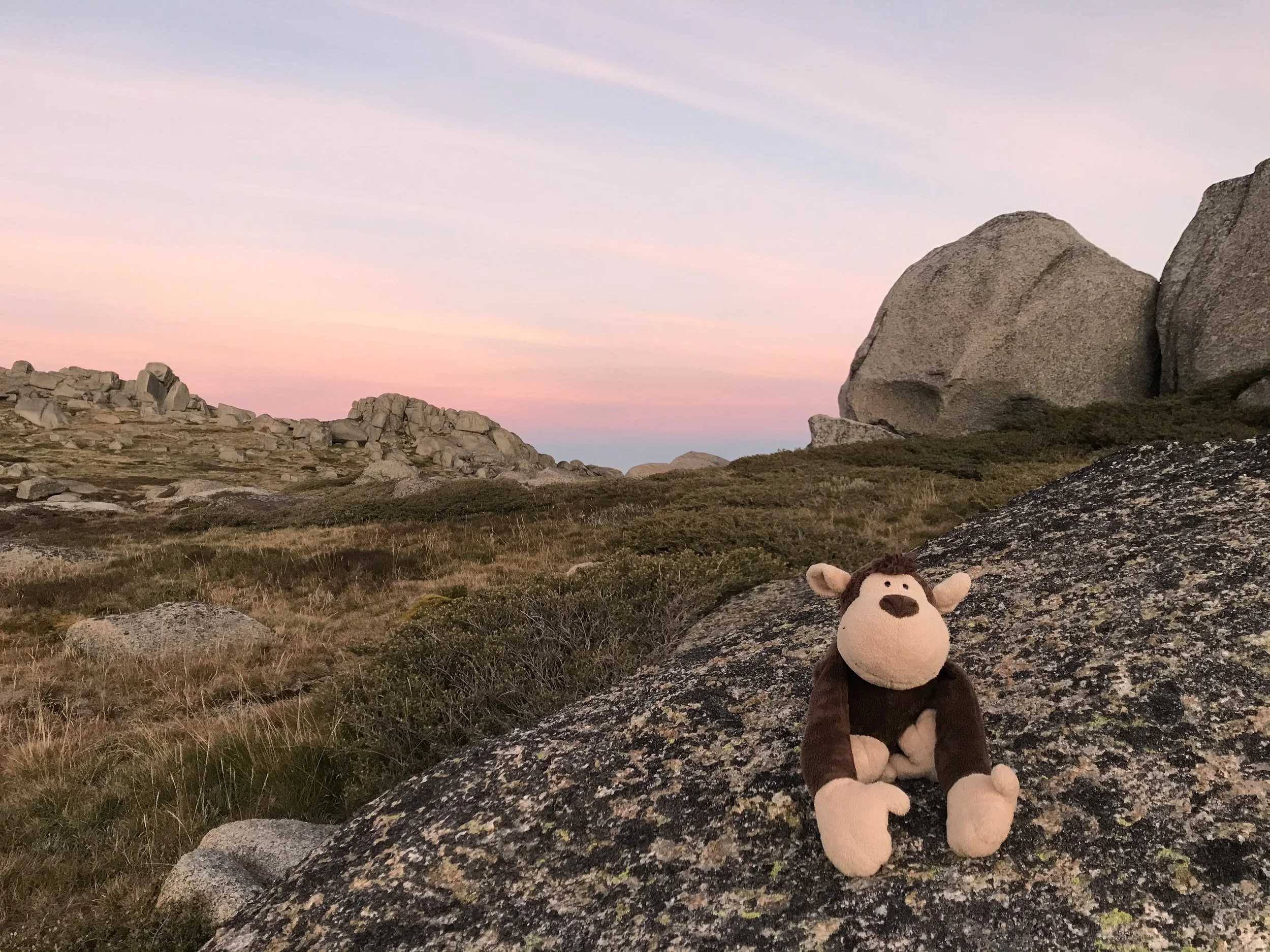
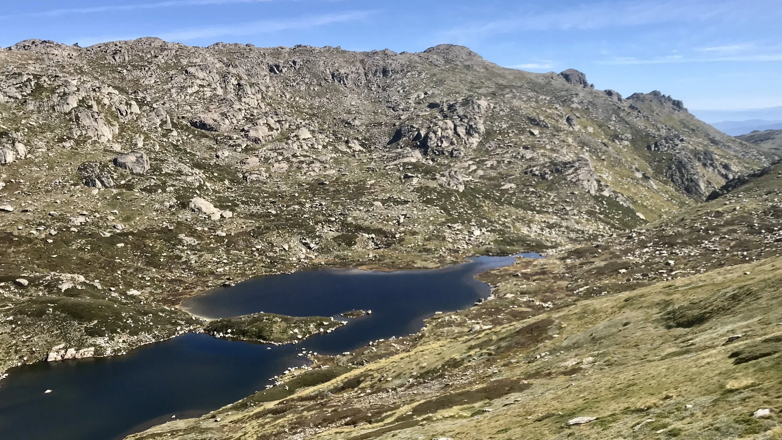
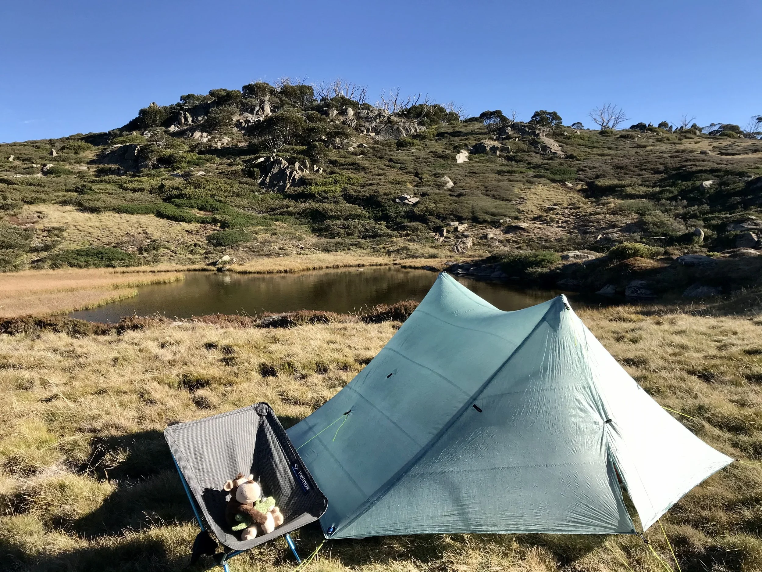
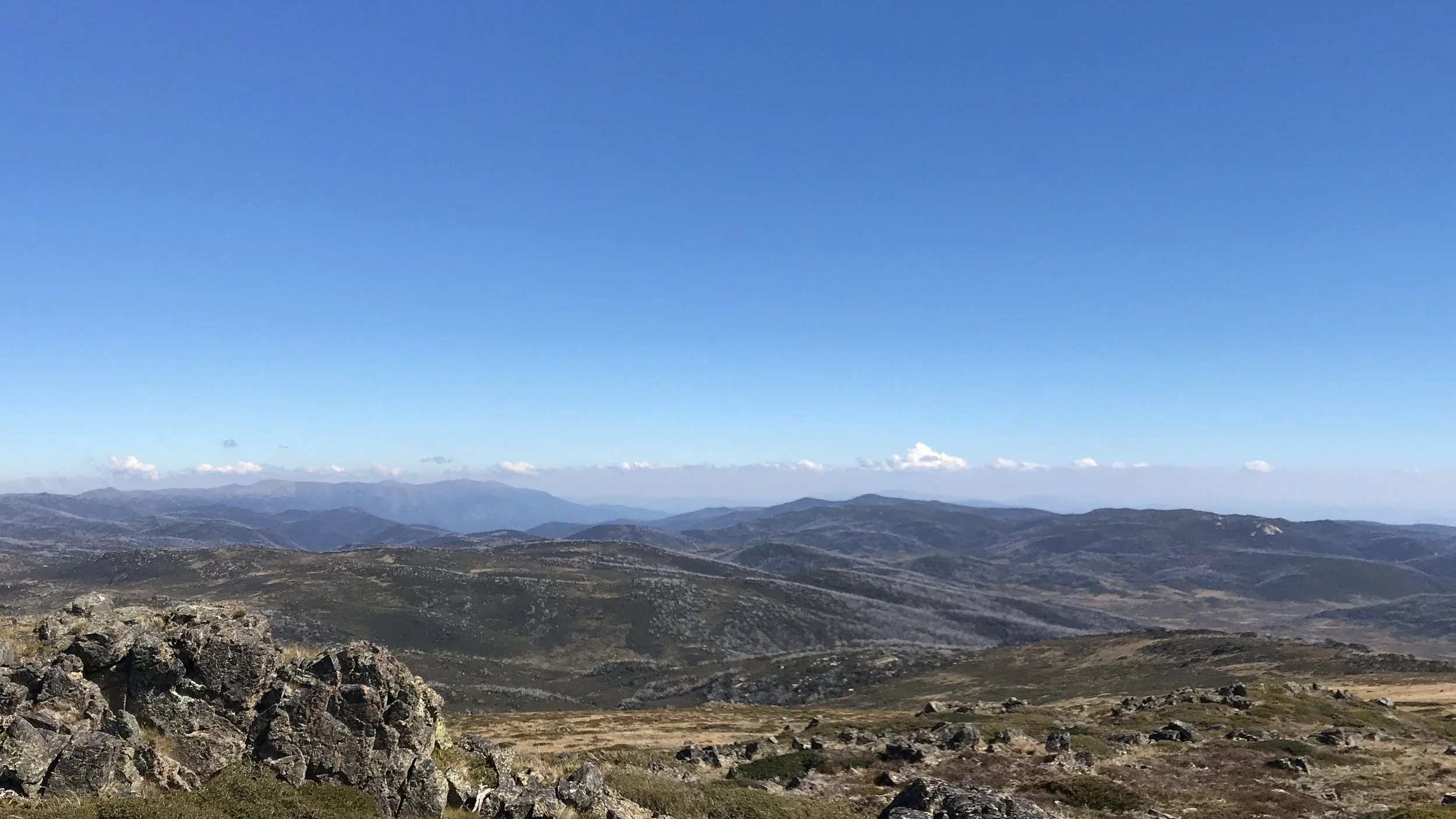
It was a still night, full of stars. The sun came up over the horrizon. It was surreal to be camping at a place like that. I continued onto the Kerries by using map and compass. I was constantly looking at my map and compass to know where i was all the time. It would be easier to pull our my phone and see where I was on the map. We are so used to consistent information in our daily life and convenience at our fingertrips. I wanted to slow it down and to be okay not knowing exactly where I was. After approx 3 hours, I was on a ridgeline and saw Mawson Hut 500m towards east. It was a great feeling that I found the hut without my phone navigation app! I had a long lunch at Mawsons Hut, topped up my water and laid on the grass. I crossed the Valentine Creek in the afternoon and went up Tarn Bluff. It was another spectacular camp spot and the weather couldn’t be any better.
Day 5: Bluff Tarn → O’Keeffes Hut (via Mount Jagungal)
16km · 8h30m
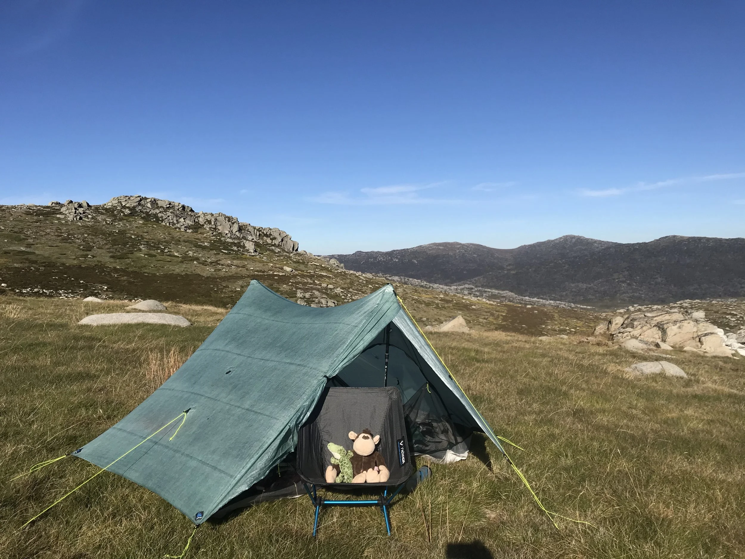
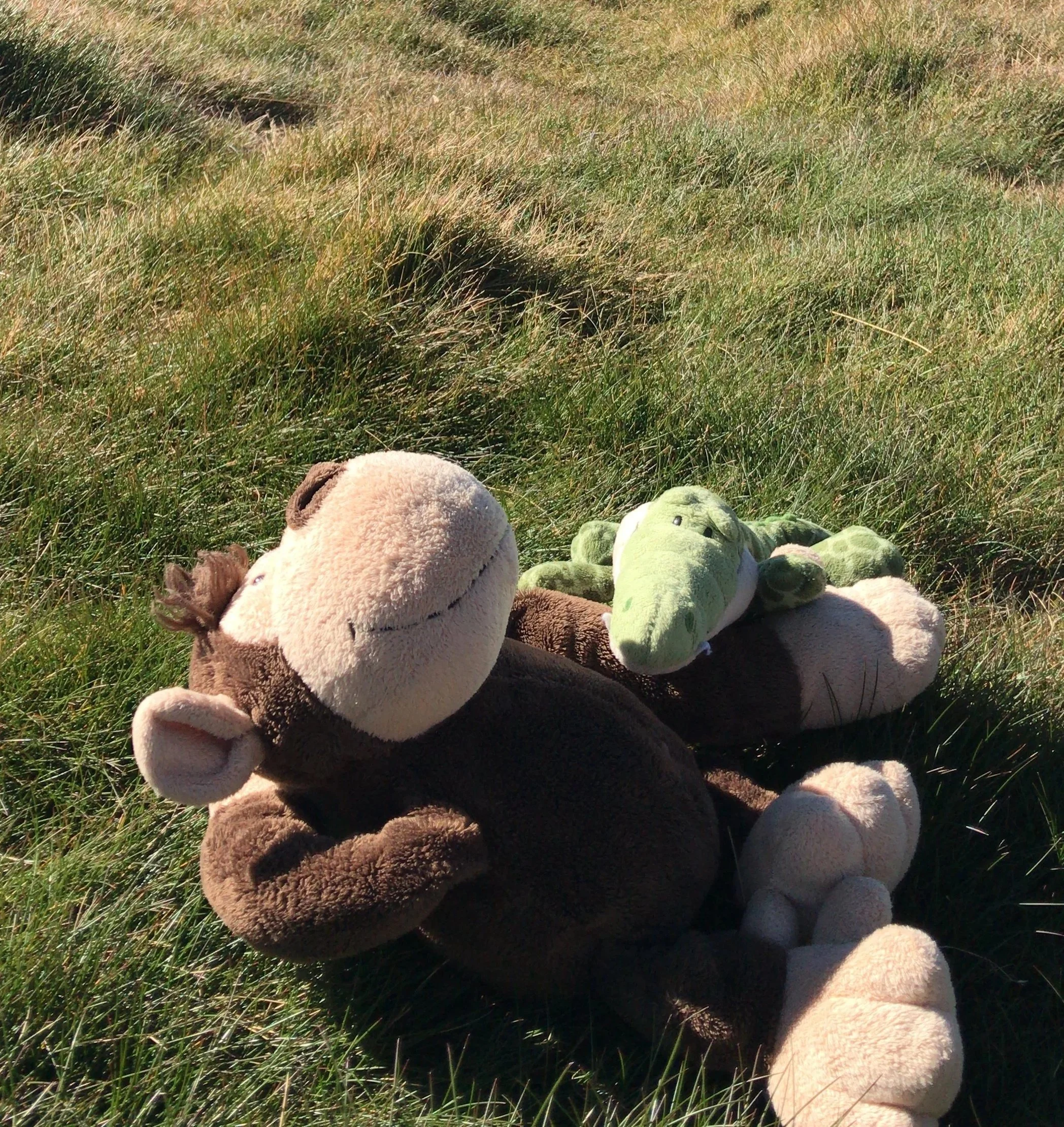
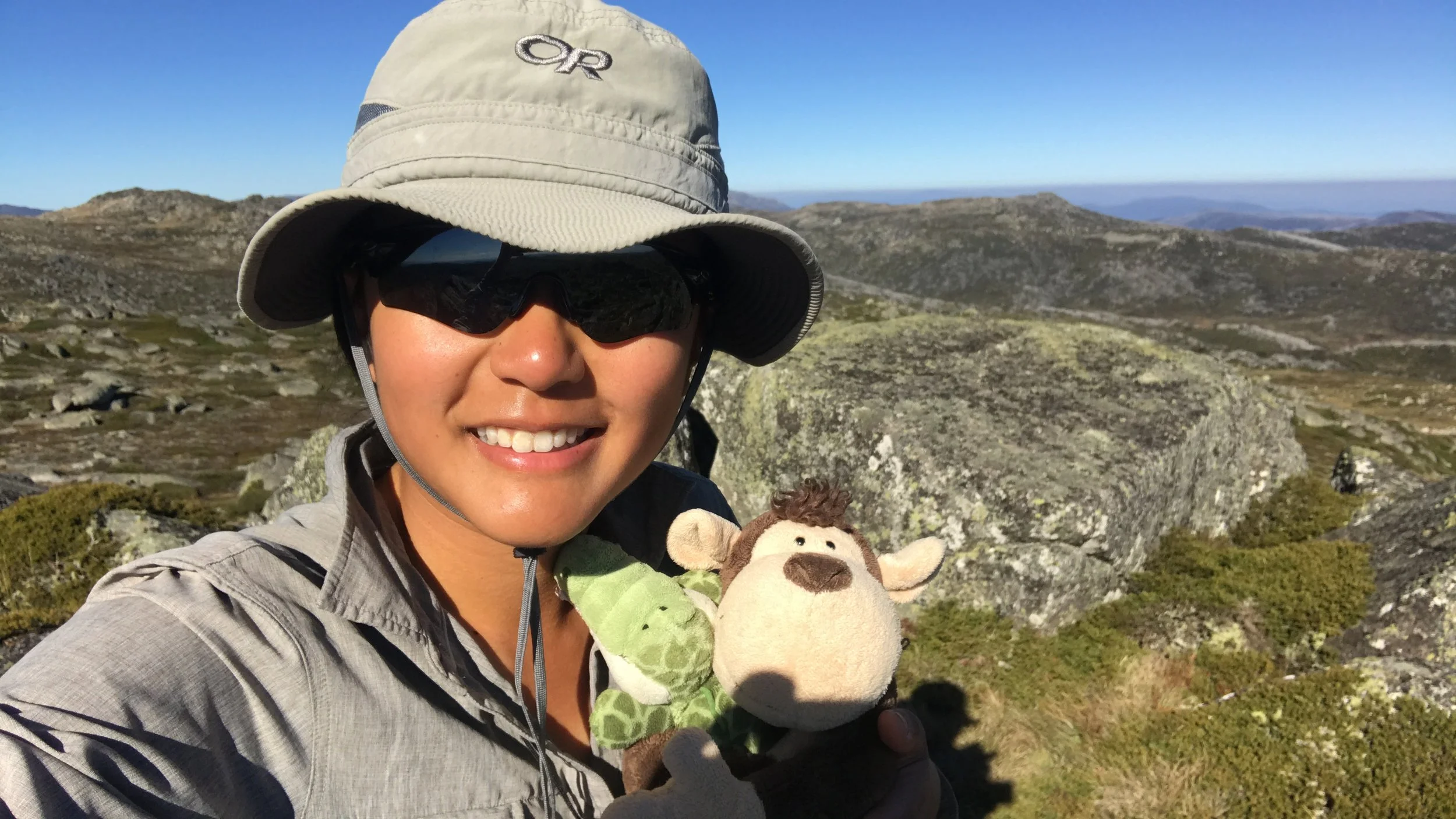
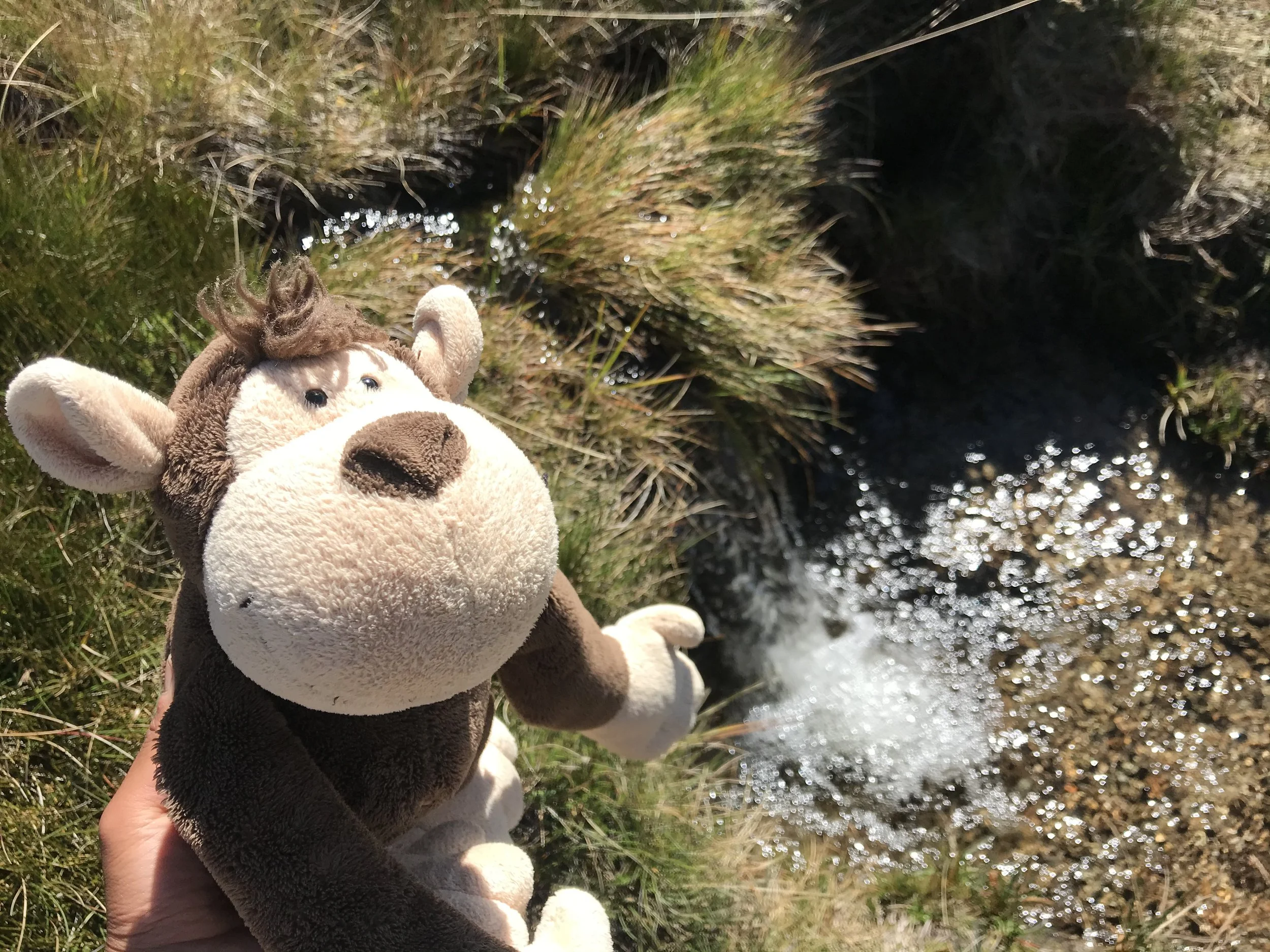
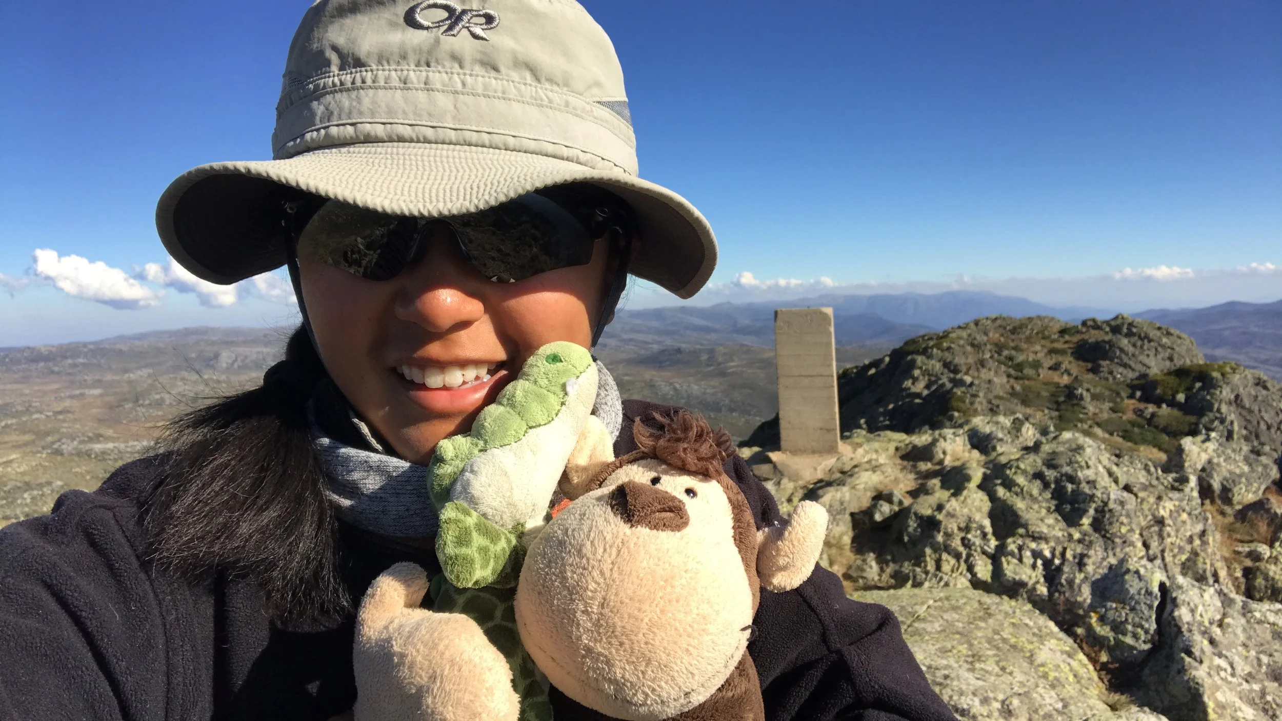
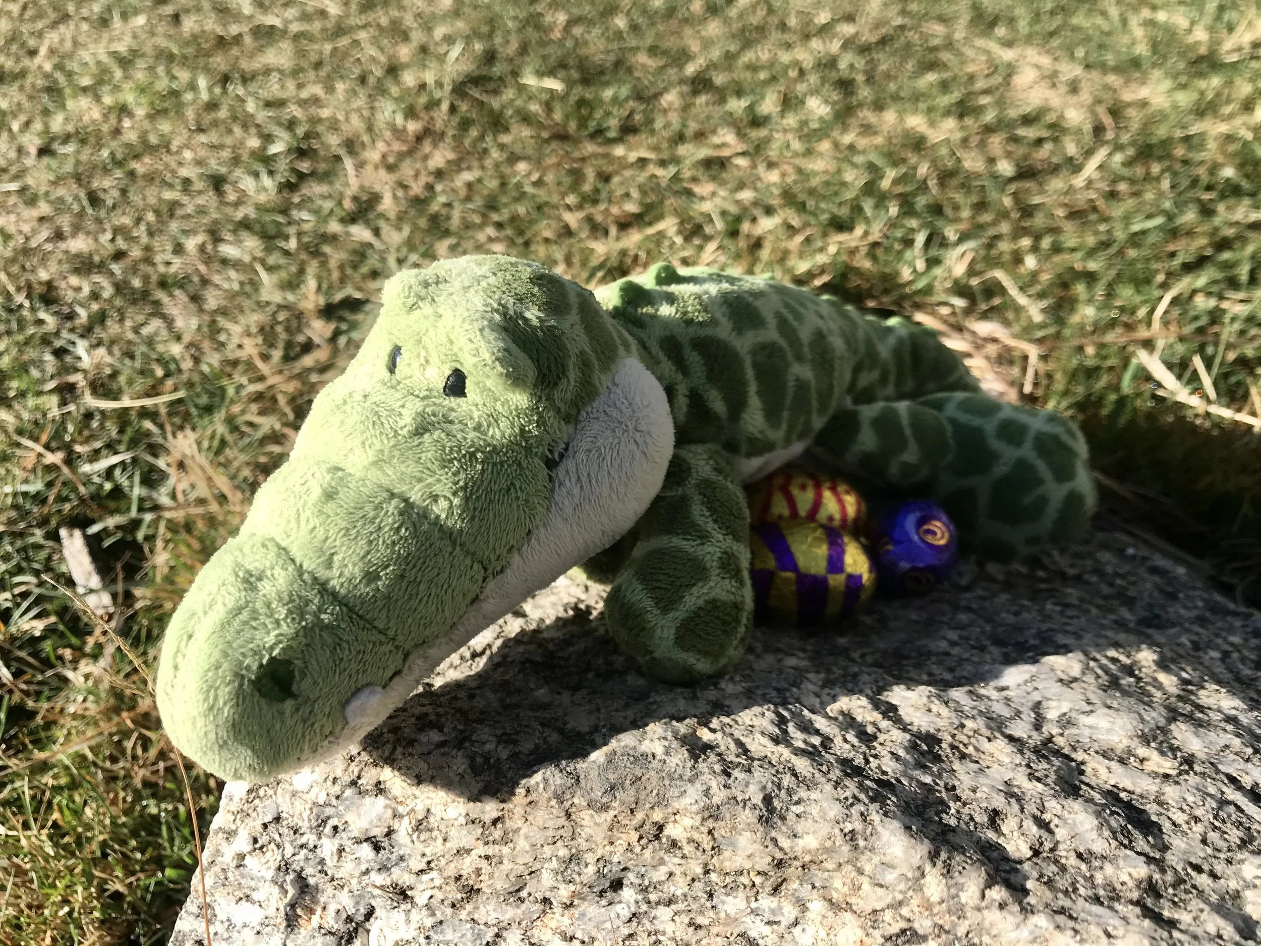
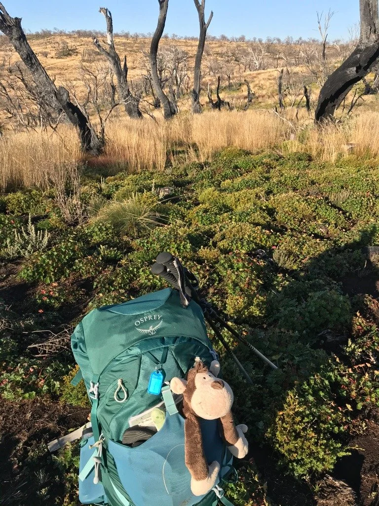
I loved the solitude out here. Mt Jagungal (2061m) was in the North and it was getting closer and closer. I reached Macalister Saddle and Jagungal Saddle. I turned west and started the ascent. It was difficult at times as I was going through dense vegetation. I had been walking off track mostly since day 1. I reached the summit at 2pm and had a selfie with Monti the Money and little Cookie the Crocodile. I hadn’t seen a person for days. I was talking to myself and them! I walked down Mt Jagungal on the walking track and onto O’Keefes Hut. It was straightforward and felt easy after navigating off-track on my own. I could just follow a trail and walk. I met Paul, a bikepacking at O’Keefes Hut and that was the start of the idea to come back on skis and bikes one day.
Day 6: O’Keeffes Hut → Mackays Hut
9.5km · 3h
A short and easy day with a couple of creek crossings. I was at Mackays Hut before lunch. I met Mickey's group at camp and they shared stories of walking the Te Araroa and AAWT. There were also bikepackers stopping briefly before continuing their long journey towards Melbourne. They were riding the Hunt 1000.
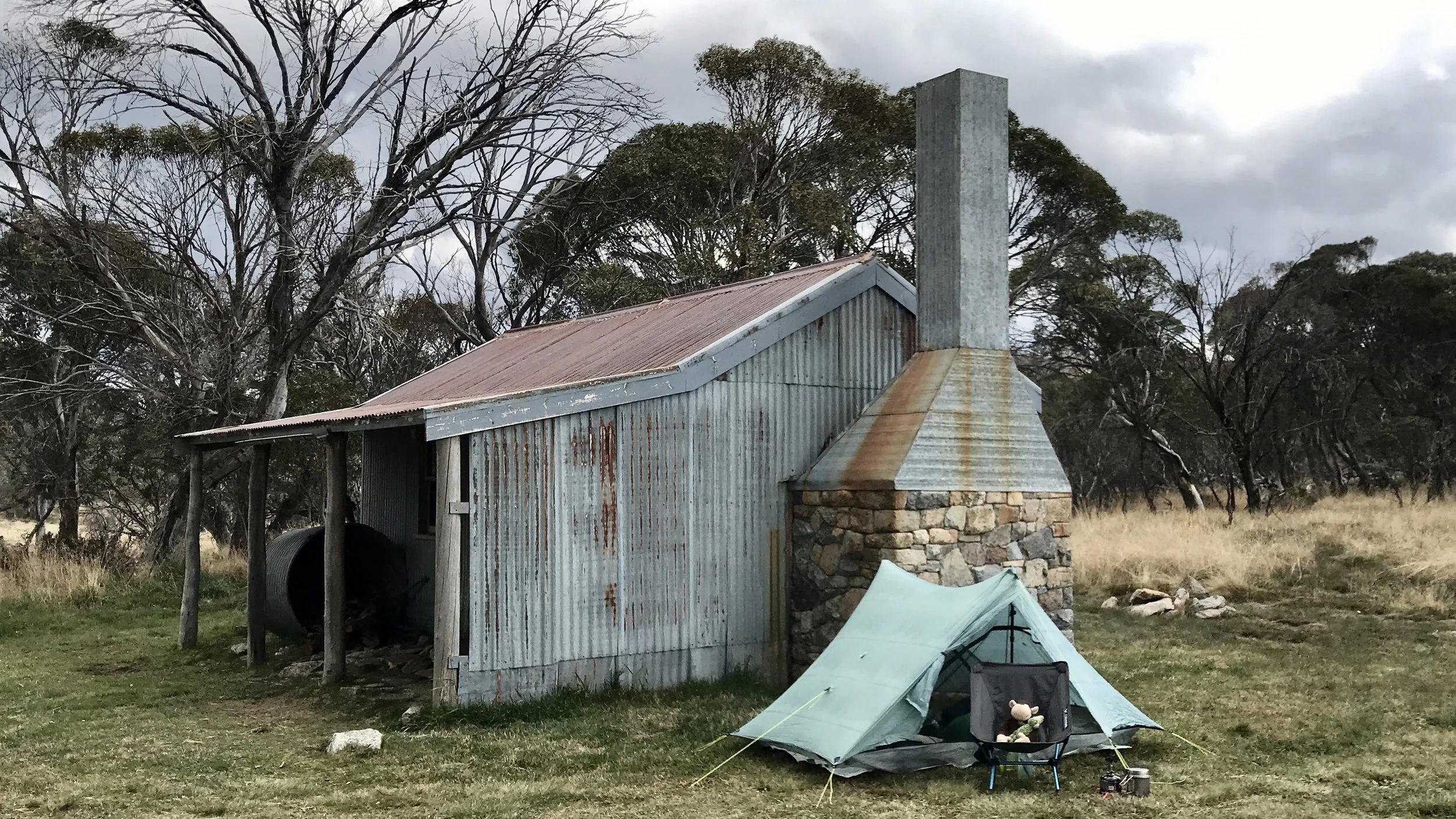
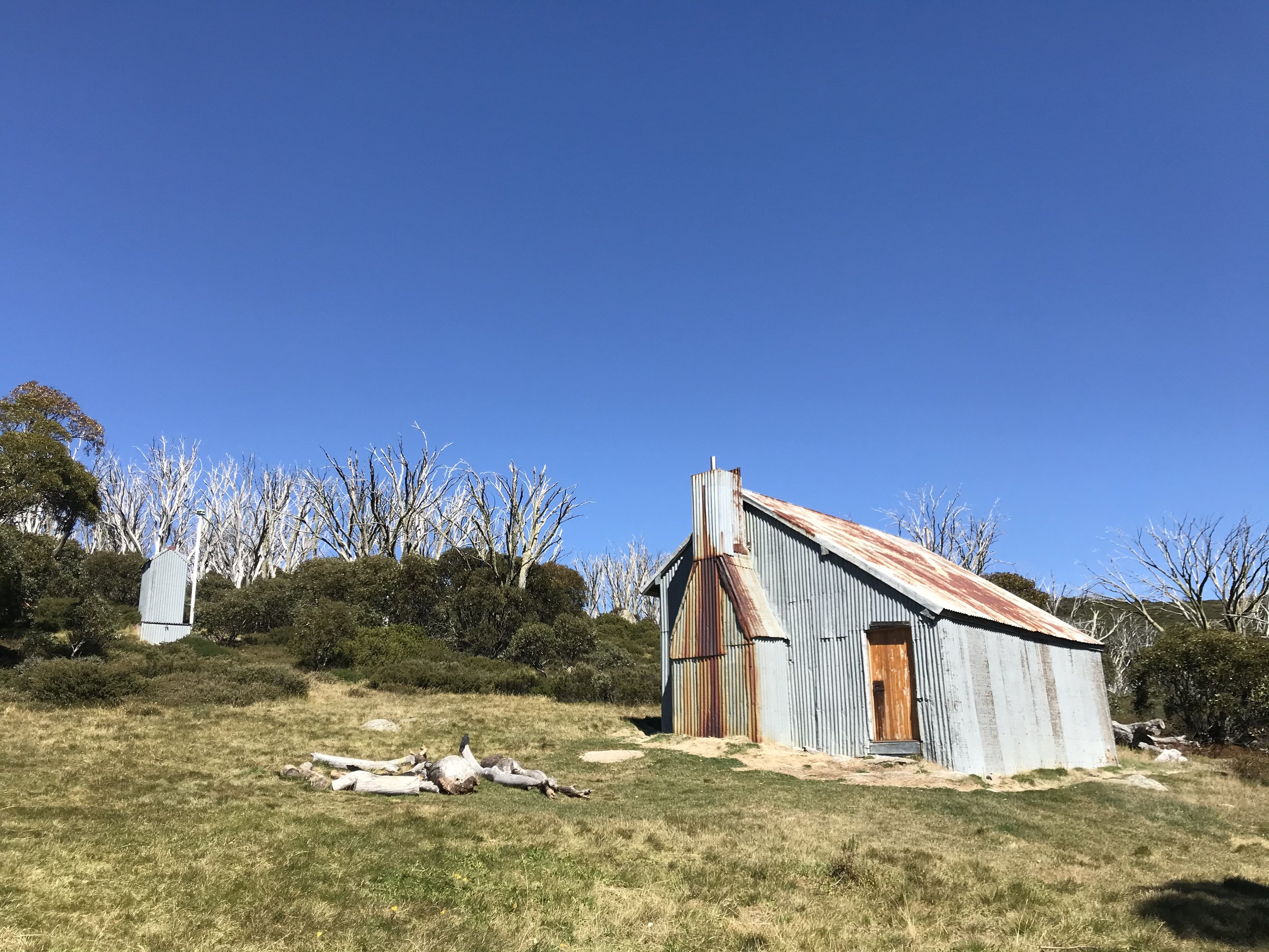
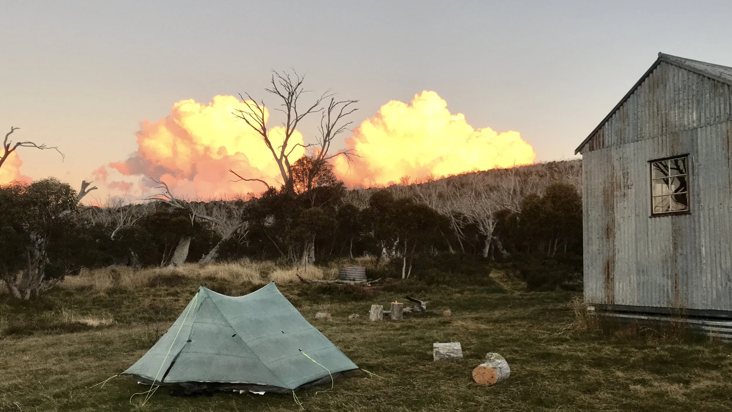
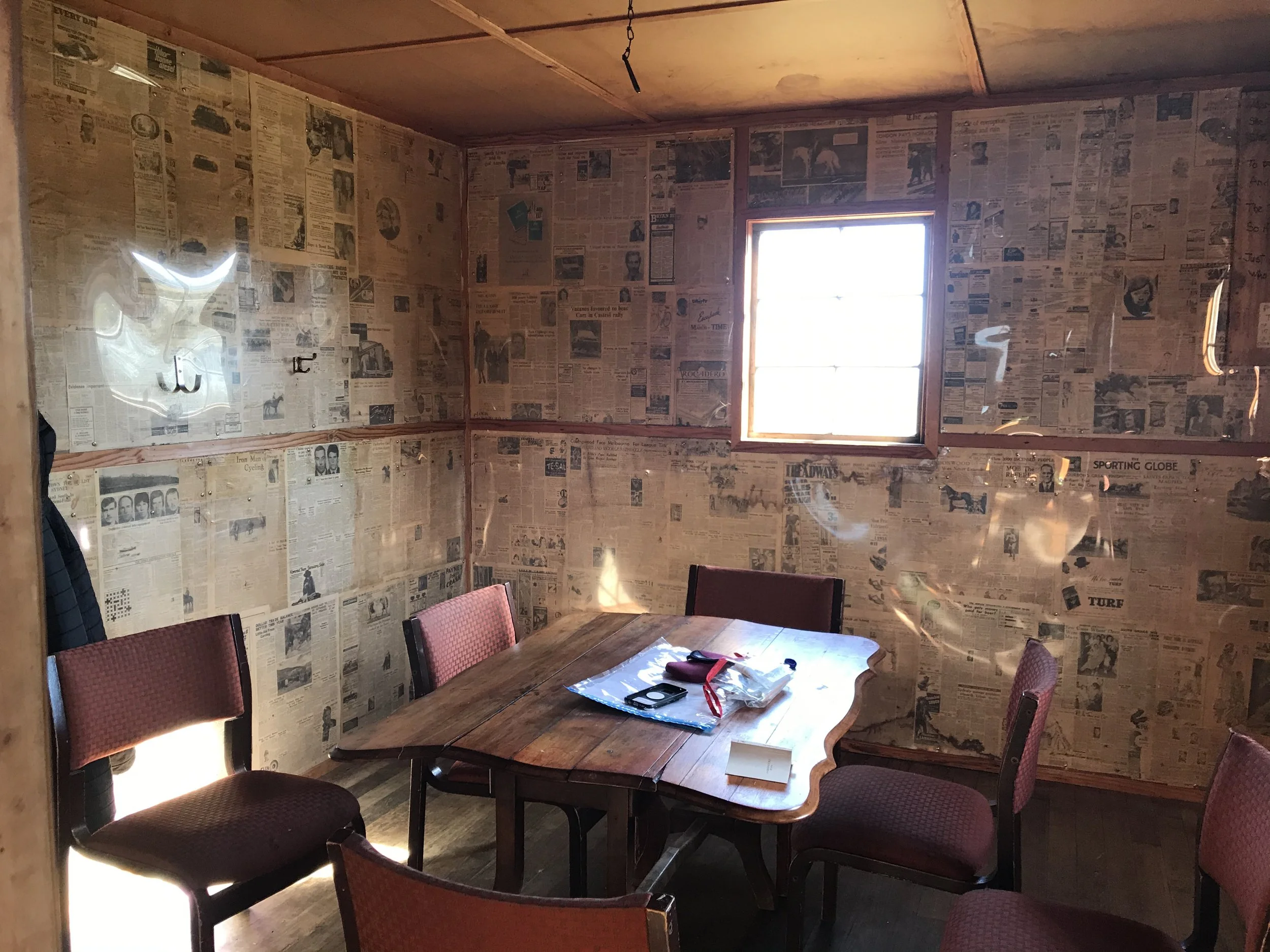
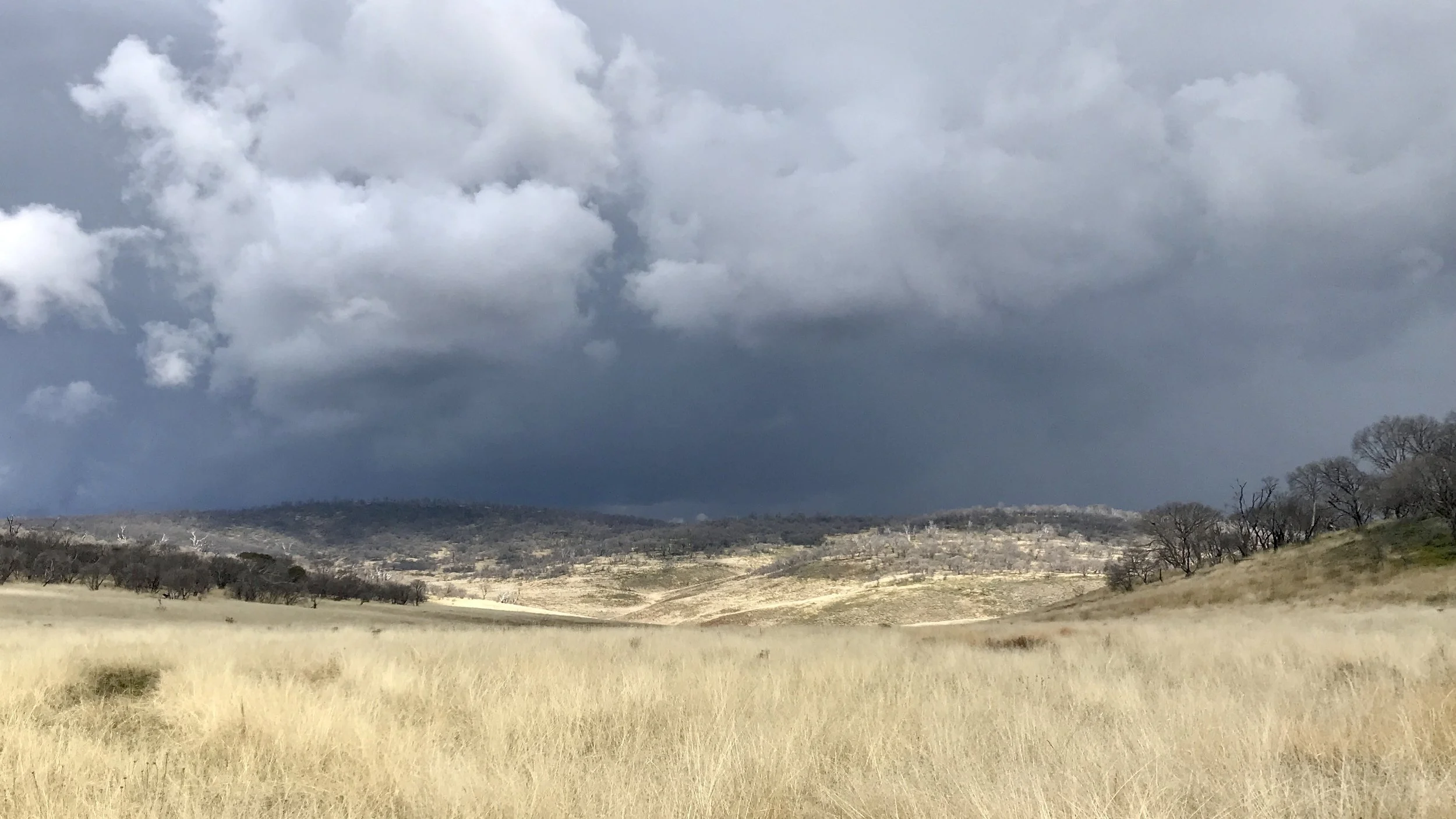
Day 7: Mackays Hut → Broken Dam Hut
28km · 7h40m
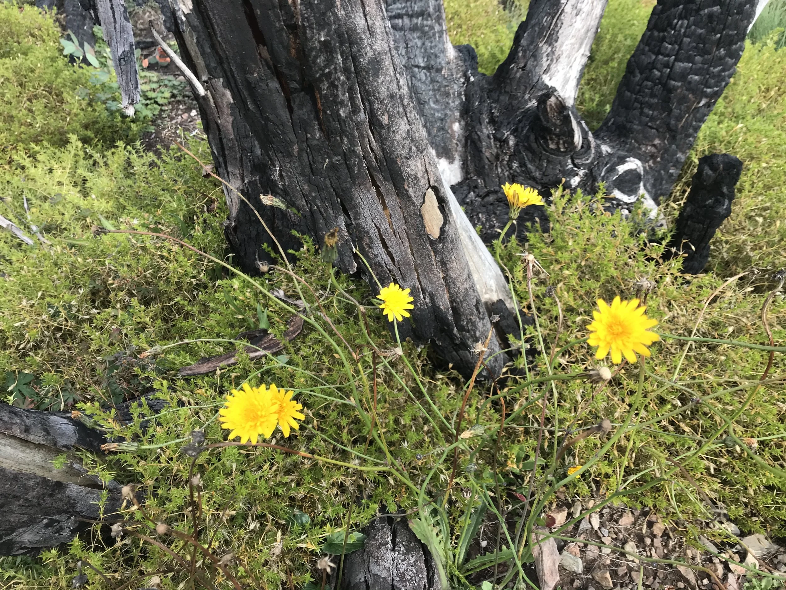
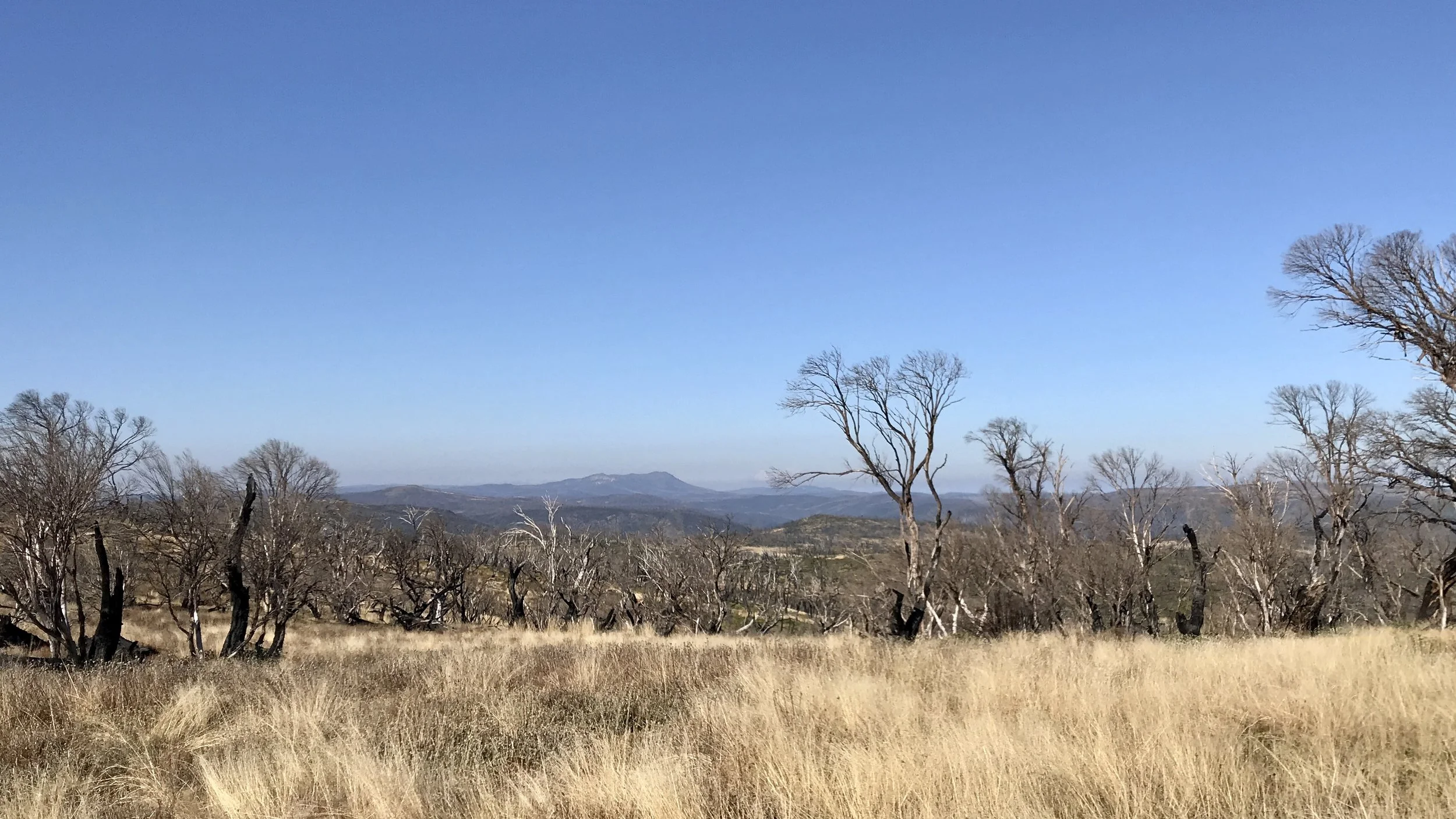
Mickey left some easter chocolate for me and said goodbye as they walk the other direction. It was thunderstormy the whole day. There were some flowers coming out after the bushfires in early 2020. Happy Jack hut was burnt down. Broken Dam Hut survived but the toilet didn’t.
Day 8: Broken Dam Hut → Kiandra
12km · 3h
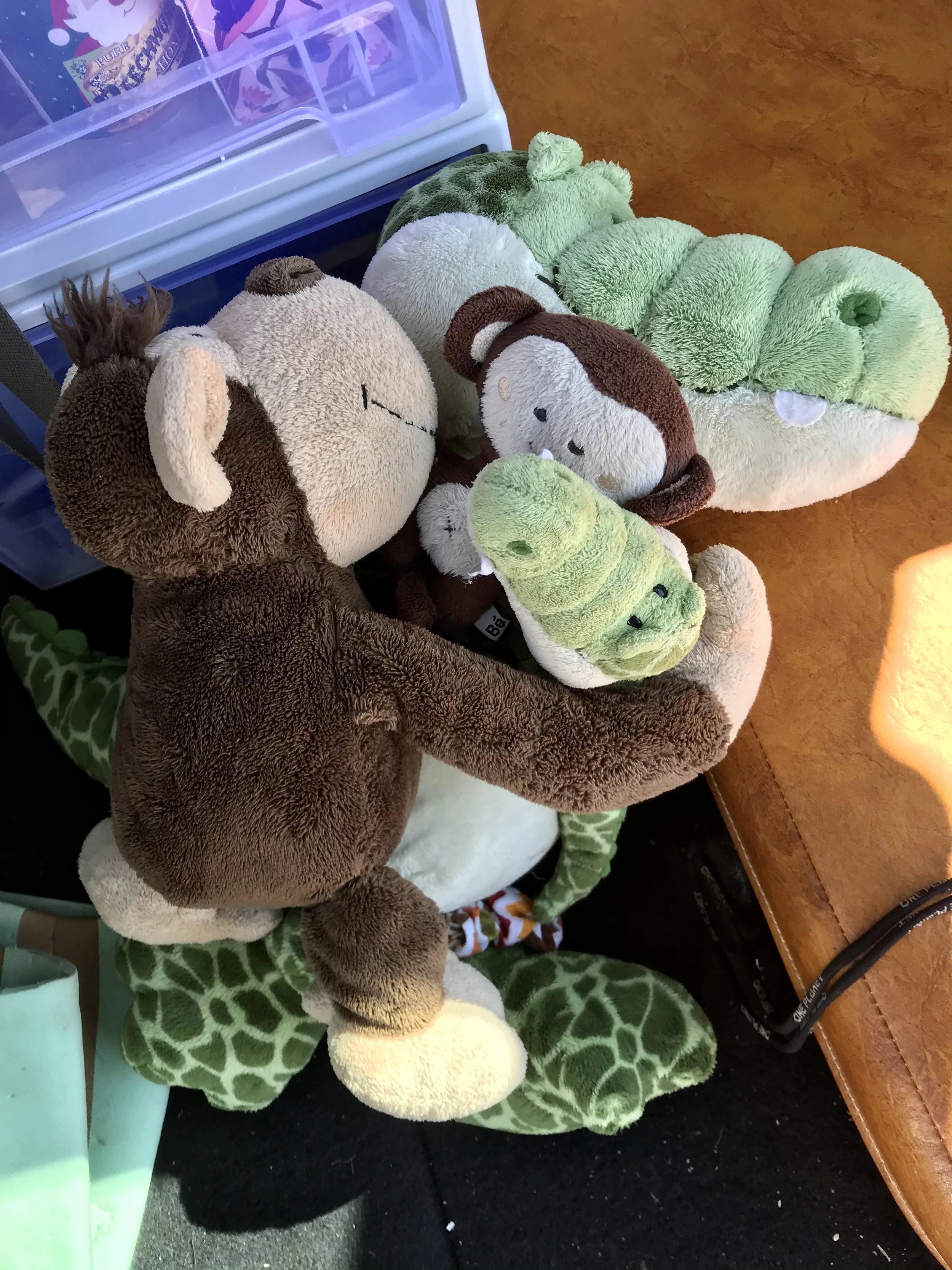
I took a short cut to walk off track towards Kiandra. The area was affected by 2019-20 summer bushfires, Four Mile Hut was no longer there (its rebuilt now). My big and small monkeys and crocodiles all reunited after 8 days apart. I drove home to Melbourne on the same day with a lunch stop in Tumut.

Logistics
I left my car in Kiandra and Craig drove me in his car to the start - Dead Horse Gap. He did another circuit hike in the area. Craig managed to convince me to take my monkey on this trip, and that was the start of Monti the Monkey coming on almost all my adventures after that.
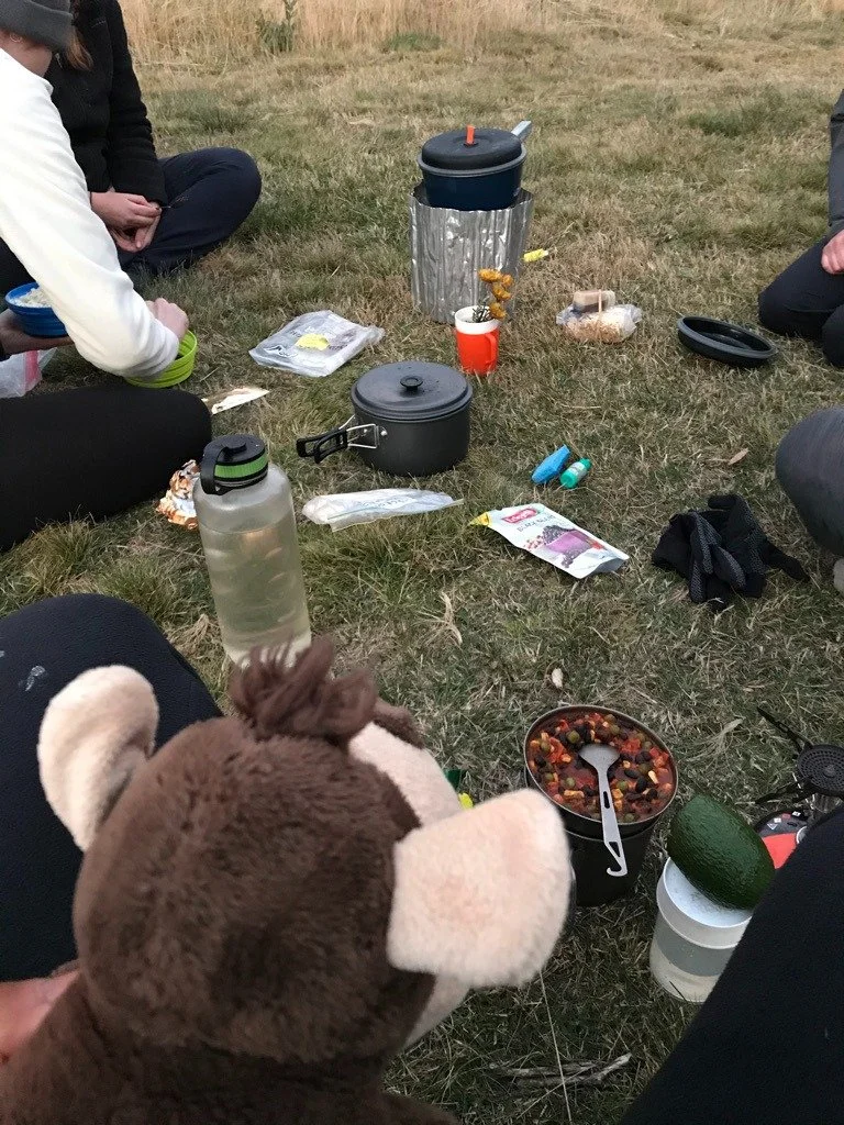
Food
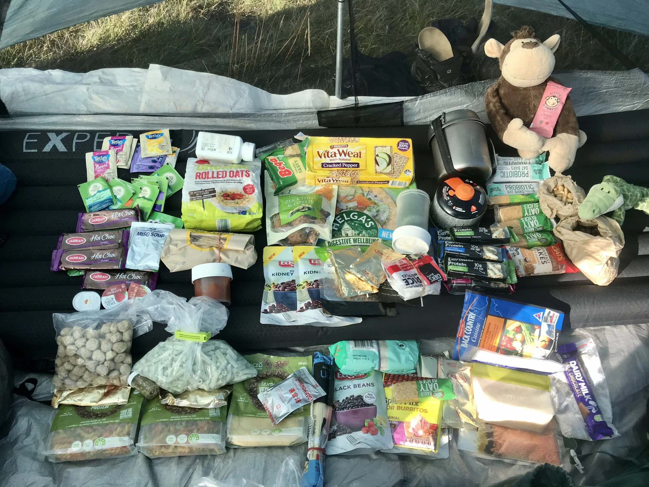
I carried nine days of food with me from the start. I took this picture on day 2 of my trip. Oats for breakfast, wraps for lunch, noodles/pasta/couscous for dinner, and plus lots of muesli bars and tea bags.
Summary
An eight-day solo traverse from Dead Horse Gap to Kiandra, covering 111km through Kosciuszko National Park. Following sections of the Australian Alps Walking Track, the route crosses the exposed Main Range before weaving through the quieter, more remote terrain of the Kerries and Jagungal Wilderness.
Carrying all supplies from the start, the journey became an exercise in simplicity—moving steadily each day, navigating off-track with map and compass, and adapting to the landscape as it unfolded. From busy alpine tracks near Mount Kosciuszko to days without seeing another person, the experience shifted between connection and solitude.